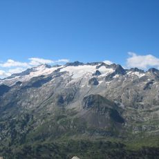
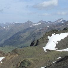
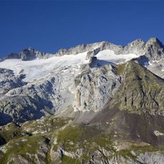
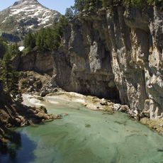
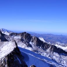
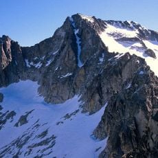
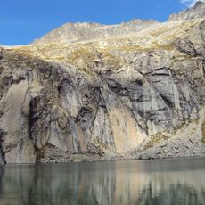
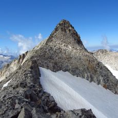
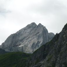
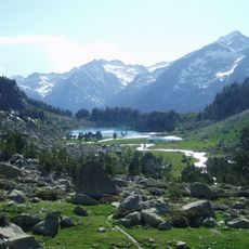
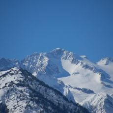
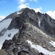
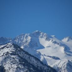
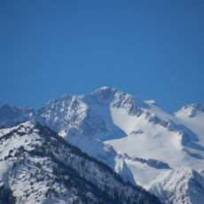
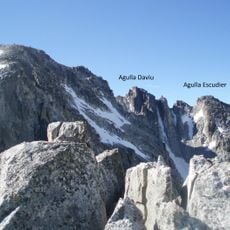
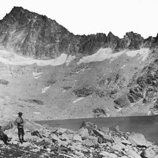
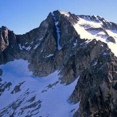
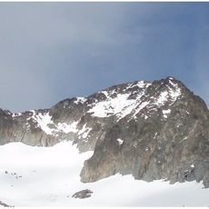
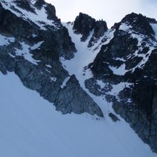
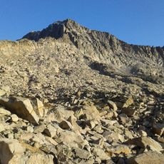
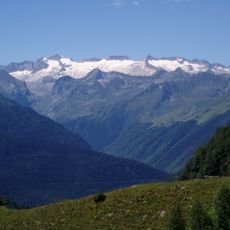
Tuc de Molières, Mountain summit in Lleida, Spain.
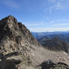
Tuc de Mulleres is a mountain summit in the Pyrenees standing at 3,010 meters high with steep granite walls defining its slopes. The routes to the peak pass through alpine meadows and rocky terrain, varying in difficulty depending on the season and chosen path.
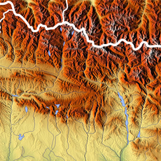
The summit lies on the granite crest dividing the Escaleta valley (Alto Ésera, Huesca) from the Molières valley (Alta Ribagorça, Lleida), so the boundary it marks runs between Aragon and Catalonia, not between Spain and France. On the Molières side, a refuge of the Federació d'Entitats Excursionistes de Catalunya stood above the first lake from 1974 until it was dismantled in 2011 and replaced that August.
The summit is listed in the FEEC's "Repte dels 100 cims" (Challenge of the 100 Peaks). For twelve consecutive years, a ski-mountaineering race climbed the Vall de Molières to the peak and descended via the Vall del Nere in the Val d'Aran; the event has since moved to the Beret area.
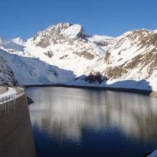
The usual route starts at the south mouth of the Vielha tunnel, where a track heads west past the Pleta de Mulleres (1,730 m) to the Estanhets de Mulleres, four glacial lakes whose lowest lies at 2,350 m. The Refugi de Mulleres (2,390 m) stands above the first lake, slightly off the path. From the third lake the slope steepens; at the base of the summit crags turn north to the coll (2,930 m), then follow the crest southwest to the iron cross and mailbox on the top.
On the east side, below the summit, a permanent glacier survives in the upper Vall de Molières. The valley's four glacial lakes, between 2,200 and 2,400 m, give rise to the Noguera Ribagorçana river. The summit is listed in the FEEC's 100 Cims challenge.
The community of curious travelers
AroundUs brings together thousands of curated places, local tips, and hidden gems, enriched daily by 94,244 contributors worldwide.