Enable Location

We need your location to show you interesting places around you

Discover nearby places

Find interesting locations and hidden gems around you

Precise directions

Get accurate directions and distances to places

Your location is never shared with other users. It's only used when you tap the location button.

Lines of Contravallation of Gibraltar

Log in to your account

Start exploring — it's free

Trusted by 61,365 travelers worldwide

Continue with Google
Continue with Apple
or

We will send you a code to connect

By continuing, you accept our Terms and Conditions and our Privacy Policy

Check your inbox

We've sent a pincode in your inbox. Please enter the code below.

Lines of Contravallation of Gibraltar

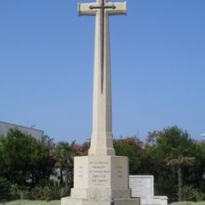
Lines of Contravallation of Gibraltar, Military fortification in La Línea de la Concepción, Spain

Description

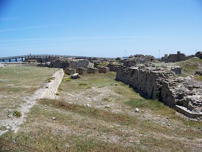
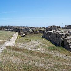
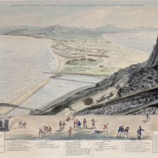
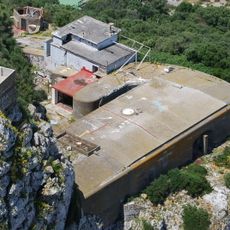
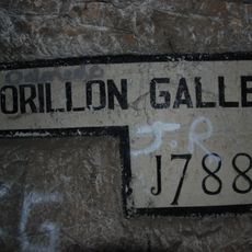
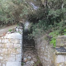
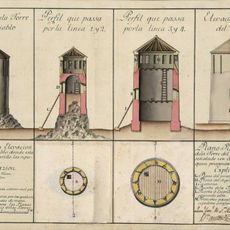
The Lines of Contravallation are fortifications stretching across the northern part of the isthmus, consisting of two main forts connected by triangular bastions and curtain walls. The complex includes multiple defensive structures with varying preservation states, from clearly visible wall sections to partially built-over remains.

History

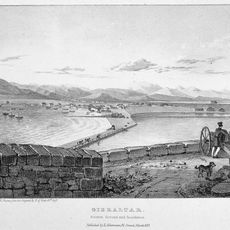
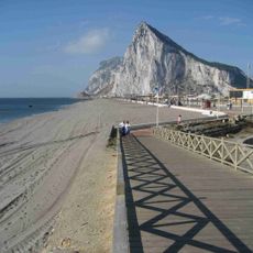
Spanish forces built these fortifications in the 1730s to block British incursions from Gibraltar and establish a military base for operations in the region. The structure was part of a broader strategy to control the isthmus during conflicts over dominance in the Strait of Gibraltar.

Culture

The fortification system shaped the founding and naming of La Línea de la Concepción, as the town grew among the remains of these military structures. You can still see how local buildings developed around the preserved walls and bastions.

Practical

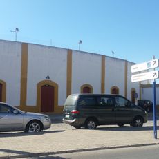
You can see the remaining fragments of the fortifications near the border between Spain and Gibraltar, with informational panels explaining their military function. Plan to explore during daylight hours and stay on marked paths, as some structures are interspersed with modern buildings.

Did you know?

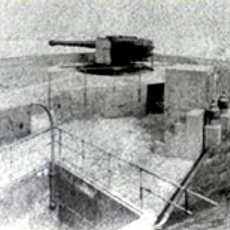
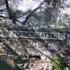
Fort Santa Barbara on the eastern end had independent gun positions and played a specialized role in the overall defense system. Its design differed from the western fort in how it was oriented to target specific positions across the water.

Inception
1730
GPS coordinates
36.16015,-5.34567
Latest update
December 12, 2025 12:01

AroundUs brings together thousands of curated places, local tips, and hidden gems, enriched daily by 60,000 contributors worldwide. Discover all places nearby (La Línea de la Concepción).

« Lines of Contravallation of Gibraltar - Military fortification in La Línea de la Concepción, Spain » is provided by Around Us (aroundus.com). Images and texts are derived from Wikimedia project under a Creative Commons license. You are allowed to copy, distribute, and modify copies of this page, under the conditions set by the license, as long as this note is clearly visible.

Discover hidden gems everywhere you go!

From secret cafés to breathtaking viewpoints, skip the crowded tourist spots and find places that match your style. Our app makes it easy with voice search, smart filtering, route optimization, and insider tips from travelers worldwide. Download now for the complete mobile experience.

Around Us App Screenshot

A unique approach to discovering new places

Le Figaro

All the places worth exploring

France Info

A tailor-made excursion in just a few clicks

20 Minutes

Around Us
Travel Guide & Maps
Download

Send to your phone

QR Code
1

Open the camera app on your mobile.

2

Point at the QR code with your camera. A notification will appear.

3

Tap the notification to open the link.