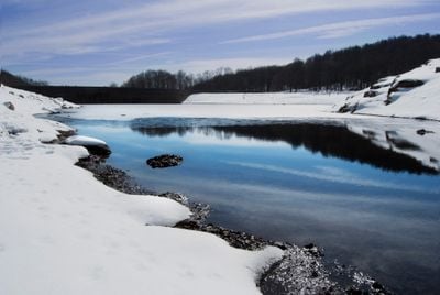
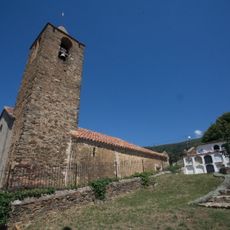
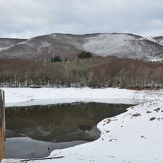
Santa Fe Reservoir, dam in Fogars de Montclús, Catalonia
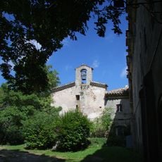
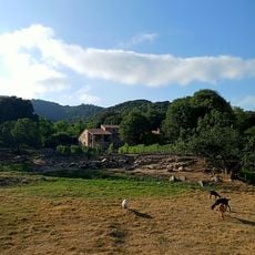
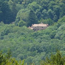
Santa Fe Reservoir is a dam reservoir inside the Montseny Natural Park, in the municipality of Fogars de Montclús, Spain. The dam is built from local stone using an arch-gravity design and rises about 80 feet (24 meters) across the valley.
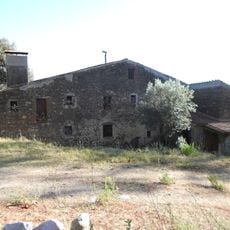
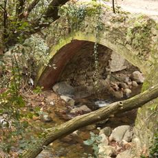
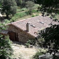
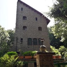
In the 1920s a wealthy Barcelona businessman bought the valley and built a small power dam to generate electricity. The main dam was finished in 1935, and after years of neglect it was repaired in the 1990s and put back into use.
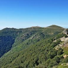
The reservoir sits inside the Montseny Natural Park and draws walkers from the surrounding towns on weekends. Picnic tables along the shore are a common sight, used by families who come to spend time near the water.
The reservoir is easy to reach from Fogars de Montclús and there are walking paths around the structure. Wear sturdy shoes, as the terrain near the dam can be uneven, and mornings tend to be cooler and less crowded.
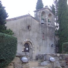
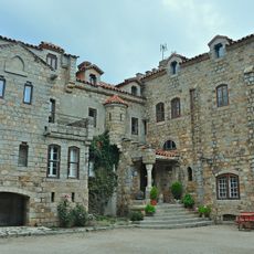
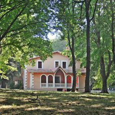
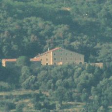
The businessman who bought the valley originally planned to build a luxury hotel designed by a noted architect, but the project never went ahead. The small power dam built to supply electricity for that hotel still stands nearby and can be seen on a visit.
The community of curious travelers
AroundUs brings together thousands of curated places, local tips, and hidden gems, enriched daily by 60,000 contributors worldwide.