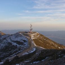
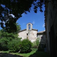
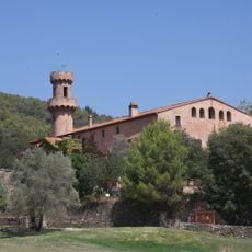
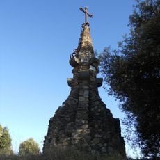
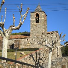
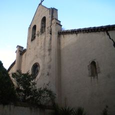
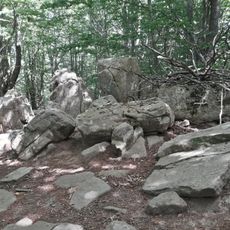
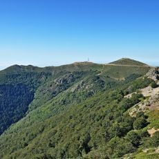
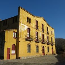
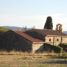
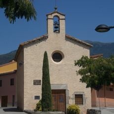
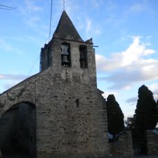
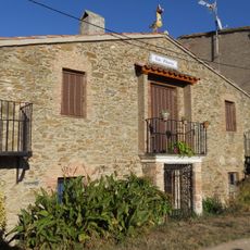
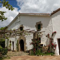
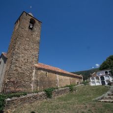
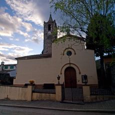
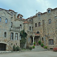
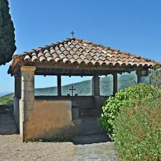
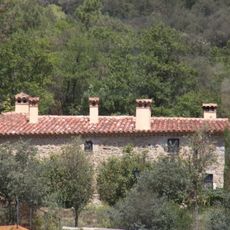
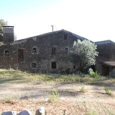
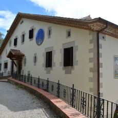
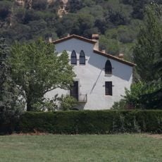
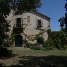
Fogars de Montclús, municipality of Catalonia, Spain
Location: Vallès Oriental
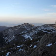
Elevation above the sea: 386 m
Website: https://www.fogarsdemontclus.cat
Shares border with: Arbúcies, Riells i Viabrea, Gualba, Campins, Sant Celoni, Santa Maria de Palautordera, Sant Esteve de Palautordera, Montseny, Sant Pere de Vilamajor
Website: https://fogarsdemontclus.cat
GPS coordinates: 41.72861,2.44444
Latest update: March 8, 2025 09:26
Turó de l'Home
5.4 km
Santa Fe Reservoir
4.9 km
Les Agudes
6.8 km
Montclús Castle
1.2 km
Puig Sesolles
5 km
Ermita de Santa Fe del Montseny
5.3 km
Castell de Fluvià
2.5 km
Creu de Sant Guillem
2.1 km
Church of Saint Martin Mosqueroles
130 m
Church of St. Mary Magdalene Mosqueroles
787 m
Turó de Morou
5.8 km
L'Aveteda
5.4 km
Can Fargas
2.1 km
Ermita de Sant Guillem
2.3 km
Ermita de Santa Margarida
2 km
Church of St. Stephen Costa
2.9 km
Can Pitarra
2.1 km
Can Cucurull
2.2 km
Churh of Saint Christopher Fogars
1.1 km
Sant Joan de Campins
1.7 km
Hotel de Santa Fe
5.3 km
Comunidor de Sant Esteve de la Costa
2.9 km
Can Net
2.9 km
Turó Gros
4.9 km
Can Masó
1.8 km
Oficina del Parque Natural del Montseny
355 m
Can Martorell
1.8 km
Can Garbeller
2.3 kmReviews
Visited this place? Tap the stars to rate it and share your experience / photos with the community! Try now! You can cancel it anytime.
Discover hidden gems everywhere you go!
From secret cafés to breathtaking viewpoints, skip the crowded tourist spots and find places that match your style. Our app makes it easy with voice search, smart filtering, route optimization, and insider tips from travelers worldwide. Download now for the complete mobile experience.
A unique approach to discovering new places❞
— Le Figaro
All the places worth exploring❞
— France Info
A tailor-made excursion in just a few clicks❞
— 20 Minutes