Enable Location

We need your location to show you interesting places around you

Discover nearby places

Find interesting locations and hidden gems around you

Precise directions

Get accurate directions and distances to places

Your location is never shared with other users. It's only used when you tap the location button.

Tuc d'Aubàs

Log in to your account

Start exploring — it's free

Trusted by 62,315 travelers worldwide

Continue with Google
Continue with Apple
or

We will send you a code to connect

By continuing, you accept our Terms and Conditions and our Privacy Policy

Check your inbox

We've sent a pincode in your inbox. Please enter the code below.

Tuc d'Aubàs

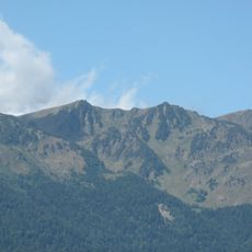
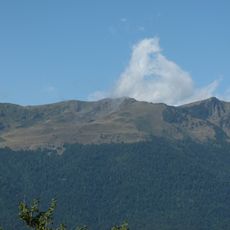
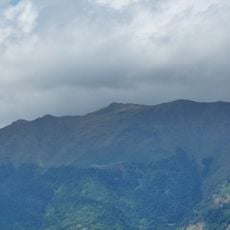
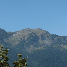
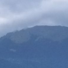
Tuc d'Aubàs, Mountain summit between Bossòst and Bagnères-de-Luchon, Spain and France

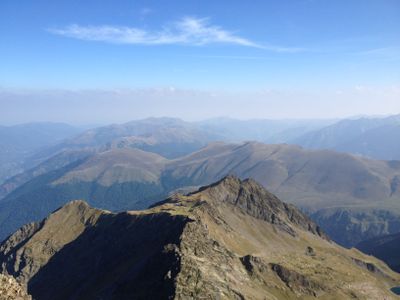
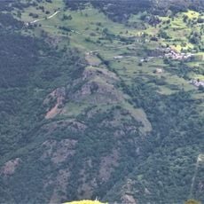
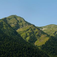
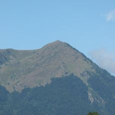
Tuc d'Aubàs is a mountain summit in the Pyrenees standing at 2073 meters (6801 feet) on the border between Spain and France. The surrounding terrain features steep slopes, alpine meadows, and rock formations that make the landscape dramatic and challenging to cross.

The mountain served as a natural boundary marker between France and Spain for centuries, with border stones placed at its peak. These markers reflect the long process of establishing and confirming the border between the two nations through the centuries.

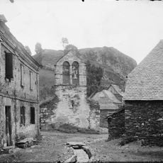
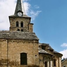
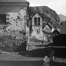
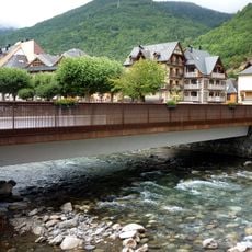
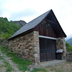
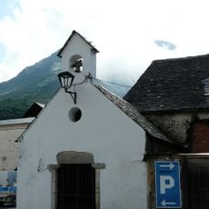
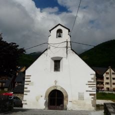
The surrounding Vall d'Aran region shows the influence of both Spanish and French traditions in its villages and local life. You can see this blend in how people and communities along the border maintain customs from both sides.

The summit can be reached via a hiking trail from Portillon covering roughly 10 kilometers with an ascent of about 900 meters taking around five hours. Two mountain shelters at Col de Barèges provide rest and overnight facilities during the climb.

The mountain shelters at Col de Barèges come equipped with fireplaces, offering warmth and comfort to hikers during their journey. This feature is not common for refuge facilities at this elevation and makes these stops particularly welcoming.

The community of curious travelers

AroundUs brings together thousands of curated places, local tips, and hidden gems, enriched daily by 60,000 contributors worldwide.

Start exploring
Location
Elevation above the sea
2,073 m
GPS coordinates
42.75189,0.66092
Latest update
December 15, 2025 13:29
« Tuc d'Aubàs - Mountain summit between Bossòst and Bagnères-de-Luchon, Spain and France » is provided by Around Us (aroundus.com). Images and texts are derived from Wikimedia project under a Creative Commons license. You are allowed to copy, distribute, and modify copies of this page, under the conditions set by the license, as long as this note is clearly visible.

Discover hidden gems everywhere you go!

From secret cafés to breathtaking viewpoints, skip the crowded tourist spots and find places that match your style. Our app makes it easy with voice search, smart filtering, route optimization, and insider tips from travelers worldwide. Download now for the complete mobile experience.

Around Us App Screenshot

A unique approach to discovering new places

Le Figaro

All the places worth exploring

France Info

A tailor-made excursion in just a few clicks

20 Minutes

Around Us
Travel Guide & Maps
Download

Send to your phone

QR Code
1

Open the camera app on your mobile.

2

Point at the QR code with your camera. A notification will appear.

3

Tap the notification to open the link.