
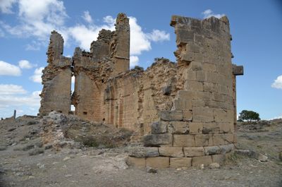
Baigorri, despoblado, localidad española
Location: Oteiza
Elevation above the sea: 425 m
GPS coordinates: 42.56347,-1.96971
Latest update: March 5, 2025 12:39
Monastery of Irache
11.4 km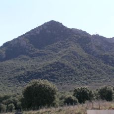
Montejurra
9.7 km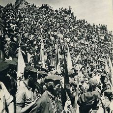
Actos de Montejurra
9.7 km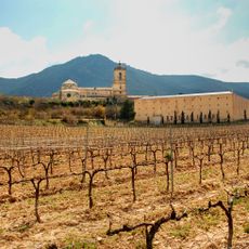
Bodegas Irache
11.5 km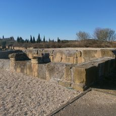
Andelos
9.9 km
Arínzano
7.7 km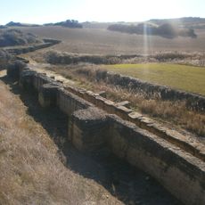
Iturranduz Dam
7.9 km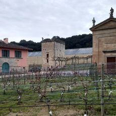
Arínzano
7.8 km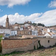
Día de la Tostada y la Fiesta del Aceite de Navarra
11.1 km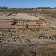
Museo Arqueológico de Andelo
9.7 km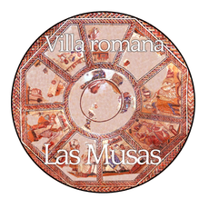
Ancient roman villa of Las Musas
8.6 km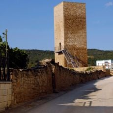
Torre de Arellano
7.8 km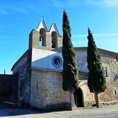
Andiongo Andre Mariaren baseliza
9.6 km
San Roman eliza
7.9 km
San Migel Goiaingeruaren eliza
10.2 km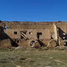
Baigorri palace
33 m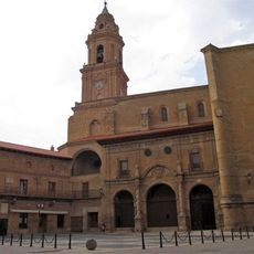
Iglesia de Nuestra Señora de la Asunción, Lerín
9 km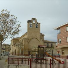
Andre Maria eliza
11.9 km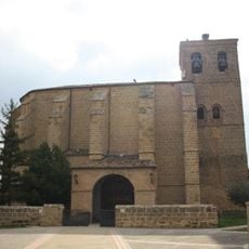
Iglesia parroquial de Villatuerta
10.7 km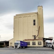
Silo of Estella
11.1 km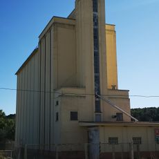
Silo of Lerín
8.8 km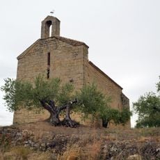
Ermita de San Miguel
11.1 km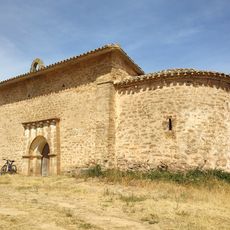
Ermita de Nuestra Señora de Leorin
6.3 km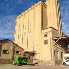
Silo of Allo
4.3 km
Iglesia y recinto conventual de Aberin
6.9 km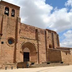
St John the Baptist church, Aberin
7 km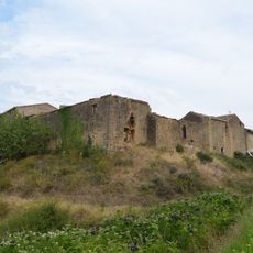
Encomienda Hospitalaria de Echávarri
8.9 km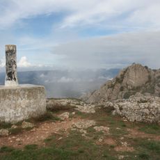
Montejurra
9.6 kmReviews
Visited this place? Tap the stars to rate it and share your experience / photos with the community! Try now! You can cancel it anytime.
Discover hidden gems everywhere you go!
From secret cafés to breathtaking viewpoints, skip the crowded tourist spots and find places that match your style. Our app makes it easy with voice search, smart filtering, route optimization, and insider tips from travelers worldwide. Download now for the complete mobile experience.

A unique approach to discovering new places❞
— Le Figaro
All the places worth exploring❞
— France Info
A tailor-made excursion in just a few clicks❞
— 20 Minutes