Los Mojones del Reino, Medieval boundary markers in Beniel, Spain
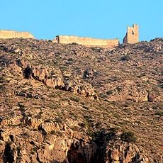
Los Mojones del Reino comprises two limestone monoliths shaped like pyramids on cubic bases, standing about 10 meters tall and marking the border between Murcia and Alicante provinces. The structures are positioned at a central location and remain clearly visible from the connecting road.
The monoliths were established in 1304 to mark the border between the Kingdom of Castile and the Kingdom of Aragon following the Treaty of Torrellas. During the 18th century under King Charles III, they were replaced with similar structures due to natural weathering.
Known locally as Los Pinochos, these markers show how territorial boundaries have been identified for centuries. They hold symbolic importance for Beniel and appear in the town's official coat of arms.
The monoliths are visible from the road year-round and parking spaces are available nearby for visitors. The location is easily accessible from the roads connecting Beniel to neighboring communities.
The local population calls these monoliths Los Pinochos, a name rooted in their distinctive shape that has become deeply embedded in regional identity. This informal name is used more commonly than the official designation, showing how the structures are woven into local memory.
The community of curious travelers
AroundUs brings together thousands of curated places, local tips, and hidden gems, enriched daily by 60,000 contributors worldwide.