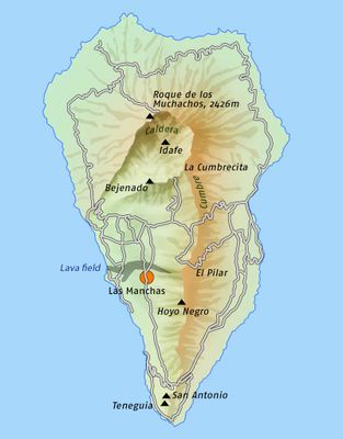
Caldera de Taburiente National Park, National park in La Palma island, Spain
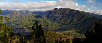
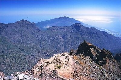
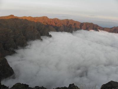
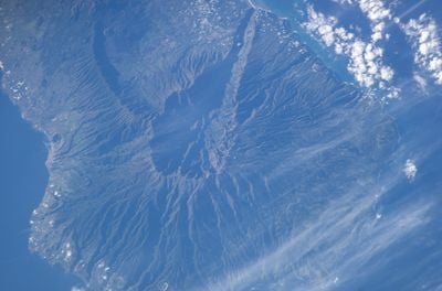
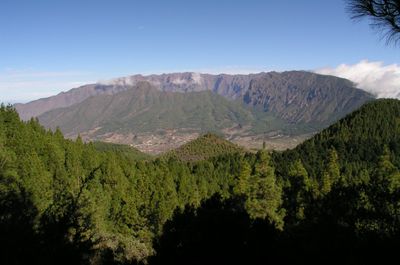
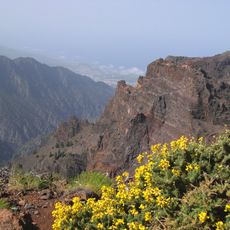
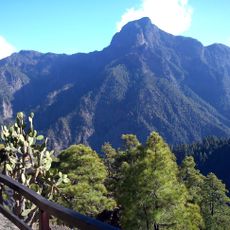
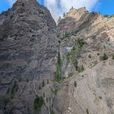
Caldera de Taburiente National Park is a protected area on La Palma island in the Canary Islands, presenting a massive erosion crater of volcanic origin. The floor of the basin sits around 430 meters (1410 feet) above sea level, while the surrounding peaks reach heights beyond 2400 meters (7874 feet), forming a natural barrier.
The area received national park status in 1954, making it one of Spain's earliest protected landscapes. The volcanic formations took shape around one million years ago through erosion and collapse of an ancient shield volcano.
The name Taburiente comes from the Guanche language, spoken by the original inhabitants before Spanish settlers arrived in the 15th century. Their rock carvings are still visible on some cliff faces, especially in sheltered spots near the valley floor.
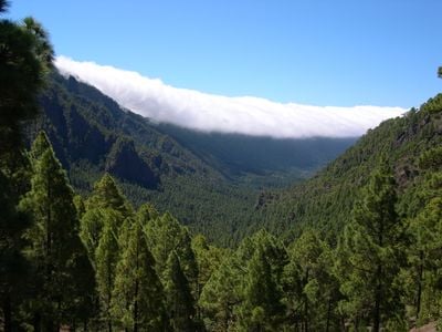
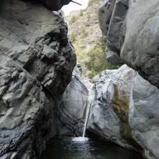
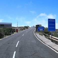
A visitor center in El Paso offers maps of the hiking routes and issues the permits required for overnight stays inside the park. Most trails run over rocky ground with steep climbs, so sturdy hiking boots and plenty of water are advisable.
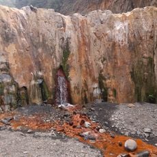
At the Cascada de Colores waterfall, minerals from the volcanic rock tint the water in shades of red, green, and yellow. Below the drop, a small pool forms where the colors show most clearly in the still water.
The community of curious travelers
AroundUs brings together thousands of curated places, local tips, and hidden gems, enriched daily by 60,000 contributors worldwide.