
SG-205, carretera de la Red Complementaria Preferente de la Junta de Castilla y León
Location: Segovia Province
GPS coordinates: 41.26871,-3.95370
Latest update: September 23, 2025 12:57
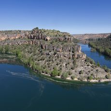
Hoces del Río Duratón Natural Park
9 km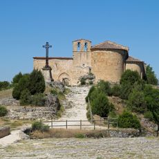
Chapel of Saint Fructus
8.8 km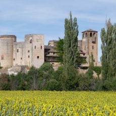
Castle of Castilnovo
16.6 km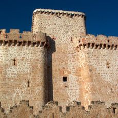
Castle of Turégano
13 km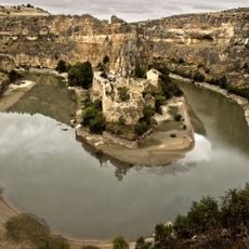
Ruins of the Monastery of Nuestra Señora de la Hoz
8.7 km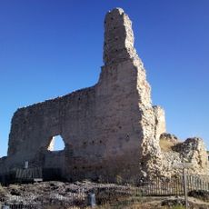
Church of San Martín
19.1 km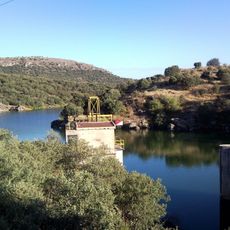
Embalse de Las Vencías
17.8 km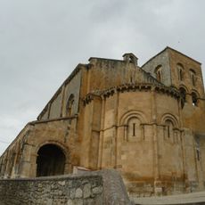
Church of El Salvador, Sepúlveda
17.3 km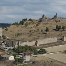
Fuentidueña Castle
19.2 km
Iglesia de la Virgen de la Peña (Sepúlveda (Segovia, Spain))
17.4 km
Church of San Miguel Árcangel, San Miguel de Bernuy
14.7 km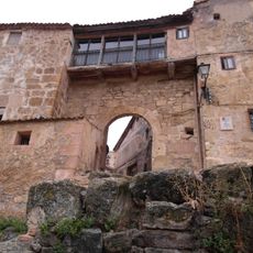
Sepulveda Wall
17.4 km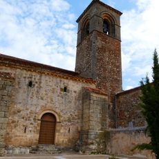
Church of Nuestra Señora de la Asunción
16.5 km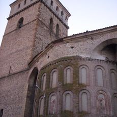
Church of Santa María, Aguilafuente
14 km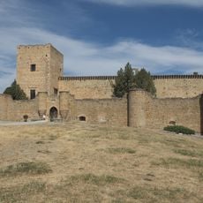
Castle of Pedraza
19.1 km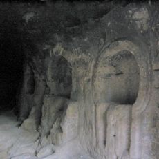
Cave of Siete Altares
10 km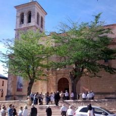
Church of Saint Andrew, Cantalejo
2.5 km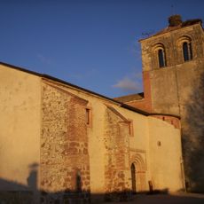
Church of Saint John, Aguilafuente
14.2 km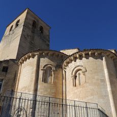
Church of San Justo y Pastor, Sepúlveda
17.4 km
Museo de Los Fueros
17.4 km
Ermita de Nuestra Señora de las Nieves
12.2 km
Castle of Fernán Gonzalez
17.4 km
Church of Santiago, Sepúlveda
17.2 km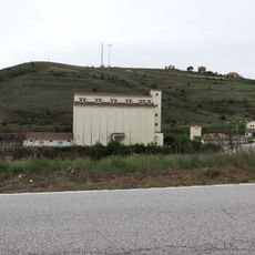
Silo de Sepúlveda
18.2 km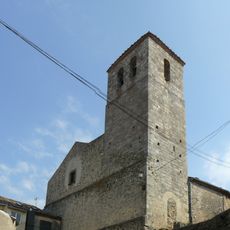
Church of San Bartolomé, Sepúlveda
17.5 km
Puente de Talcano, Sepúlveda
16.1 km
Ermitas de San Miguel de Bernuy
15.1 km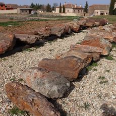
Fossilized tree trunks, Arevalillo de Cega
13.3 kmReviews
Visited this place? Tap the stars to rate it and share your experience / photos with the community! Try now! You can cancel it anytime.
Discover hidden gems everywhere you go!
From secret cafés to breathtaking viewpoints, skip the crowded tourist spots and find places that match your style. Our app makes it easy with voice search, smart filtering, route optimization, and insider tips from travelers worldwide. Download now for the complete mobile experience.

A unique approach to discovering new places❞
— Le Figaro
All the places worth exploring❞
— France Info
A tailor-made excursion in just a few clicks❞
— 20 Minutes