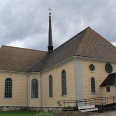
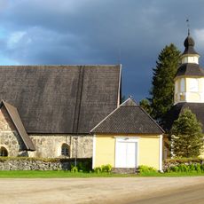
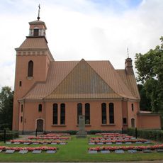
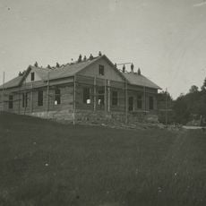
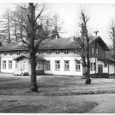
Padasjoki, municipality in the region of Päijänne Tavastia in Finland
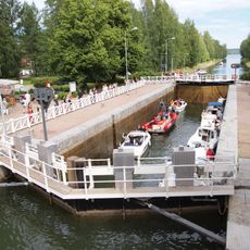
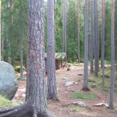
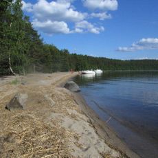
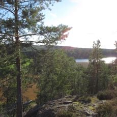
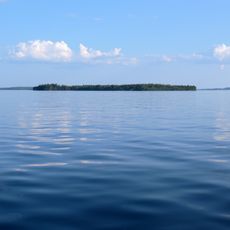
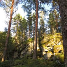
Padasjoki is a small town on the shore of Lake Päijänne in Finland, surrounded by forests and hills. The town features an indoor swimming pool, hiking trails, a disc golf course, and a marina where visitors can access boats for lake activities and water sports.
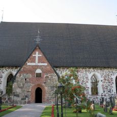
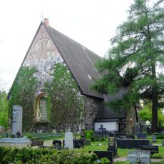
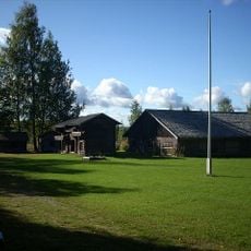
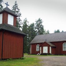
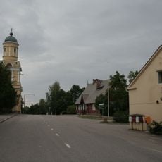
Padasjoki was established centuries ago and residents historically used the nearby river for travel and transport. The town is connected to the Cudgel War, a historic conflict memorialized by a monument in the nearby village of Nyystölä.
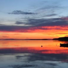
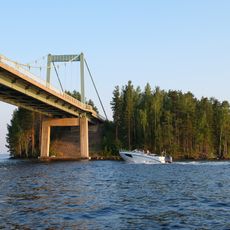
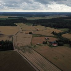
Padasjoki centers on its relationship with Lake Päijänne, where locals spend time boating and gather for water-based events like sailing races throughout the year. The town's identity is shaped by outdoor pursuits such as fishing, hiking, and paddling, which are woven into daily life and community gatherings.
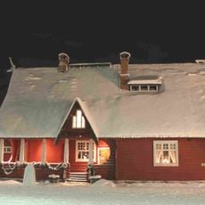
Padasjoki is easily reached by car or bus as it lies on a main road connecting Lahti and Jämsä, with regular service from Helsinki and nearby towns especially during daytime hours. The town offers lakeside cottage rentals equipped with saunas for accommodation and relaxation after outdoor activities.
Lake Vesijako nearby is distinctive because its water splits and flows in two opposite directions toward different sides of Finland, making it a rare geographical point in the water landscape. This feature connects the region uniquely to Finland's larger hydrographic system.
The community of curious travelers
AroundUs brings together thousands of curated places, local tips, and hidden gems, enriched daily by 60,000 contributors worldwide.