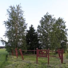
Kimo bruk, rautaruukki Oravaisissa
Location: Vörå
Part of: Kimon ruukki ja Oravaisten tehdasyhdyskunta
GPS coordinates: 63.24353,22.46225
Latest update: March 14, 2025 20:53
Levänluhta
32.9 km
Training Air Wing
32.4 km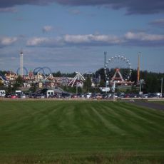
PowerPark
20 km
Isokyrö Old Church
27.6 km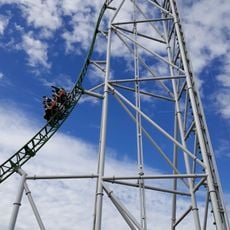
Pitts Special
19.7 km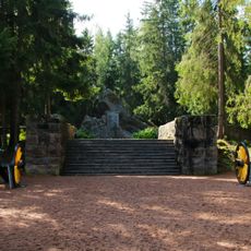
Battle of Isokyrö memorial
29.7 km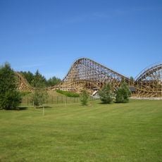
Thunderbird
19.9 km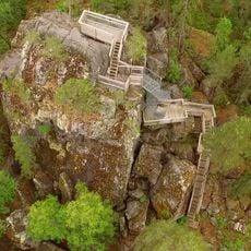
Lostenen
35.1 km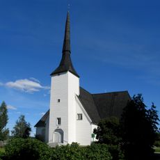
Vörå wooden church
14.6 km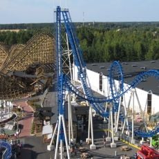
Cobra
19.9 km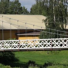
Perttilä Suspension Bridge
29.4 km
Finnish Jaeger Museum
35.4 km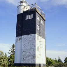
Stubben Lighthouse
34.9 km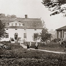
Kuddnäs
32.1 km
Kauhava Old Church
34.4 km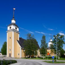
St. Birgitta's Church in Nykarleby
31.2 km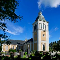
Laihia church
37.3 km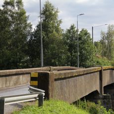
Mattila Bridge
18.4 km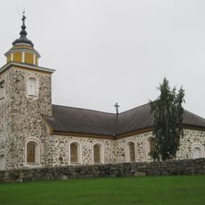
Munsala Church
23.5 km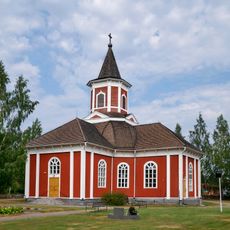
Kortesjärvi Church
35.3 km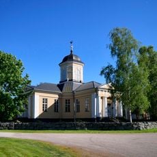
Oravais Church
7.1 km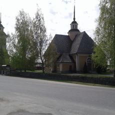
Purmo Church
39.7 km
Iisakin Jussi's Cabin
32.5 km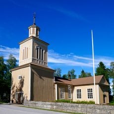
Jeppo Church
20.3 km
Lifting stone in Karperö
39.2 km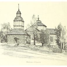
Maxmo church
20.3 km
Koivulahti church
32.5 km
Église de Kitinoja
33.9 kmReviews
Visited this place? Tap the stars to rate it and share your experience / photos with the community! Try now! You can cancel it anytime.
Discover hidden gems everywhere you go!
From secret cafés to breathtaking viewpoints, skip the crowded tourist spots and find places that match your style. Our app makes it easy with voice search, smart filtering, route optimization, and insider tips from travelers worldwide. Download now for the complete mobile experience.

A unique approach to discovering new places❞
— Le Figaro
All the places worth exploring❞
— France Info
A tailor-made excursion in just a few clicks❞
— 20 Minutes