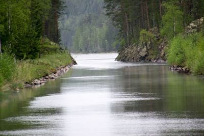
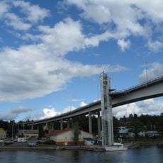
Kukonharju Canal, Military canal in Puumala and Ruokolahti, Finland.
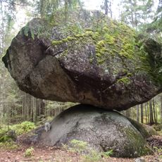
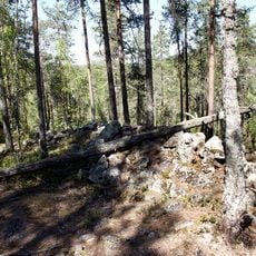
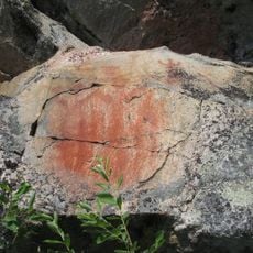
The Kukonharju Canal is an 800-meter waterway connecting different parts of Lake Saimaa while cutting through Puumala and Ruokolahti. The passage displays original stone structures and early blockade mechanisms that remain visible from when it first functioned.
Built in 1790, this waterway was constructed as part of military operations to provide a faster route through the lake system. It served strategic purposes and demonstrates how water control was essential for movement during that period.
The waterway shaped how people moved through this region and remains a visible reminder of past priorities and engineering knowledge. Walking along it today, you notice how the constructed passage sits within the natural landscape as a human-made intrusion.
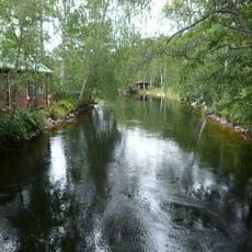
The site is accessible from either side via marked walking paths that start near parking areas in both municipalities. The terrain is suitable for casual walking, and visiting during warmer months makes it easier to explore the full length of the waterway without wet conditions.
The stone entrances feature original wooden blockade mechanisms that reveal how ships were controlled and stopped at key points along the passage. These physical details often go unnoticed but offer direct insight into the practical solutions used centuries ago.
The community of curious travelers
AroundUs brings together thousands of curated places, local tips, and hidden gems, enriched daily by 60,000 contributors worldwide.