Ruokolahti, municipality in the region of South Karelia in Finland
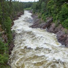
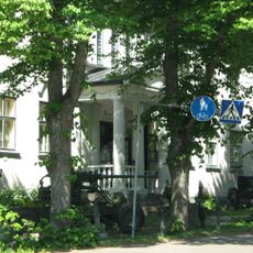
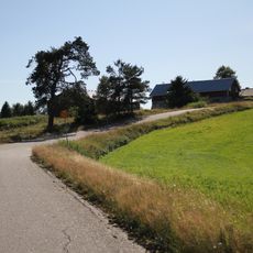
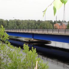
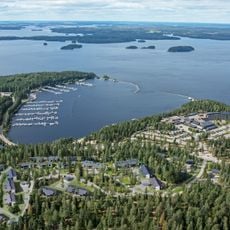
Ruokolahti is a small municipality in South Karelia, characterized by lakes and dense forests, situated near the large Lake Saimaa. The landscape consists of green woodlands, clear waters with small bays, and scattered homes and cottages nestled throughout the area.
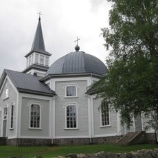
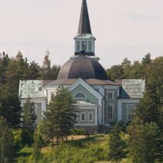
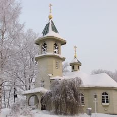
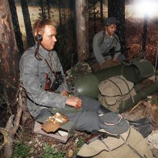
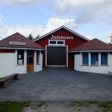
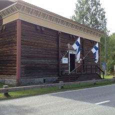
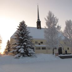
Ruokolahti was officially established in the late 1800s, developing from a rural area into a small municipality with a church and local institutions. The region also held significance during wartime, with notable historical figures connected to the area.
The name Ruokolahti refers to the reeds that grow in the region's waters, reflecting the community's deep connection to nature. In daily life, you see residents spending time by the lakes, relaxing at cottages, and gathering for outdoor events and local markets that celebrate their traditions.
The area is easy to explore with walking trails through forests and around lakes, plus cycling routes along the shorelines suitable for different fitness levels. Visitors can walk or cycle on gravel roads and marked paths, which also serve for cross-country skiing and snowshoeing during winter months.
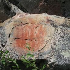
The place is home to Kummakivi, a large balancing stone that seems to rest on another rock without falling, and this unusual natural feature draws visitors who want to touch the geological oddity with their own hands. The stone is now protected to preserve it for future generations.
The community of curious travelers
AroundUs brings together thousands of curated places, local tips, and hidden gems, enriched daily by 60,000 contributors worldwide.