
Haartmaninkatu 1, building in Helsinki, Finland
Location: Helsinki
Inception: 1950
Address: Haartmaninkatu 1 00290
GPS coordinates: 60.18967,24.91105
Latest update: March 23, 2025 19:56

Kesäranta
632 m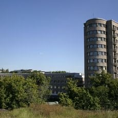
Children's Castle
468 m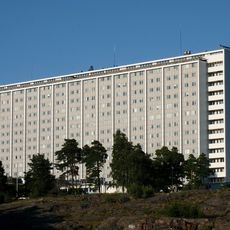
Meilahti Tower Hospital
340 m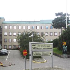
Children's Hospital
369 m
Women's Hospital
109 m
Töölöntulli
194 m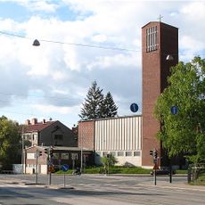
St. Mary's Church
640 m
Töölö Library
784 m
Meilahti Church
527 m
Naistentalo
720 m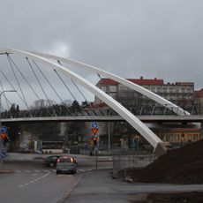
Auroransilta
780 m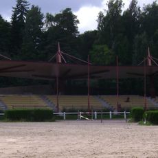
Laakso horse-riding arena
689 m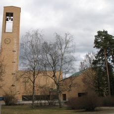
Tuomaankirkko
528 m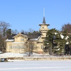
Kesärannan päärakennus Villa Bjälbo
634 m
Stenbäckinkatu 20
307 m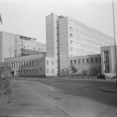
Tukholmankatu 10
538 m
Paasikivenkatu 4
292 m
Humalistonkatu 4
778 m
Stenbäckinkatu 14
236 m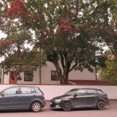
Stenbäckinkatu 16 (3416)
260 m
Laakson liikennekaupunki
730 m
Tavaststjernankatu 17
409 m
Humalistonkatu 6
770 m
Stenbäckinkatu 18
281 m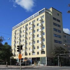
Mannerheimintie 118
282 m
Stenbäckinkatu 24
362 m
Paasikivenkatu 2
353 m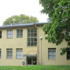
Lastenlinnantie 2a
626 mVisited this place? Tap the stars to rate it and share your experience / photos with the community! Try now! You can cancel it anytime.
Discover hidden gems everywhere you go!
From secret cafés to breathtaking viewpoints, skip the crowded tourist spots and find places that match your style. Our app makes it easy with voice search, smart filtering, route optimization, and insider tips from travelers worldwide. Download now for the complete mobile experience.

A unique approach to discovering new places❞
— Le Figaro
All the places worth exploring❞
— France Info
A tailor-made excursion in just a few clicks❞
— 20 Minutes