
Säästöpankin talo, مبنى في ميكيلي، فنلندا
Location: Mikkeli
Inception: 1940s
Architects: Martti Välikangas
Part of: Mikkelin hallitustori ympäristöineen
Address: Hallituskatu 3, Mikkeli
GPS coordinates: 61.68850,27.27463
Latest update: March 12, 2025 18:28

Mikkeli Cathedral
423 m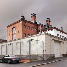
Mikkeli prison
472 m
Savilahti Stone Sacristy
763 m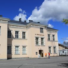
Mannerheim's Headquarters
445 m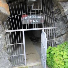
Communications Centre Lokki
346 m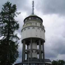
Mikkeli Naisvuori water tower
431 m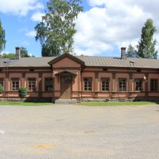
Infantry Museum
943 m
Theatre of Mikkeli
357 m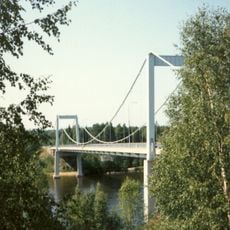
Kirkonvarkaus Bridge
2.8 km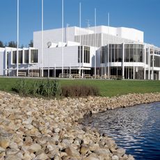
Mikaeli
1.2 km
Muisti Centre of War and Peace
442 m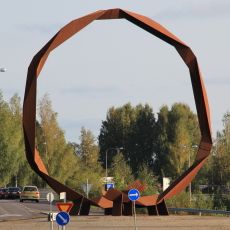
Suuri spiraali
454 m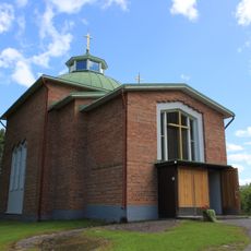
Archangel Michael Church
1.1 km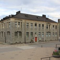
Mikkeli Art Museum
348 m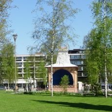
Kirkkopuisto
170 m
Mikkelin kauppahalli
114 m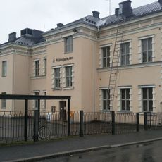
Mikkeli Headquarters Museum
449 m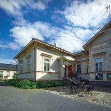
Mikkeli Centre of Photography
611 m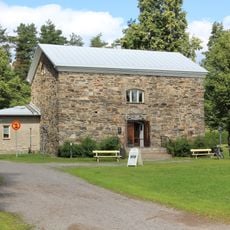
Suur-Savo Museum
1.1 km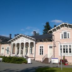
Kenkäveronniemi rectory
999 m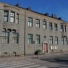
Mikkelin hallitustori ympäristöineen
127 m
Cowshed in Kenkäveronniemi rectory
1.1 km
Mikkeli Old barracks 3
972 m
Administrative building in Mikkeli county government buildings
210 m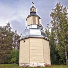
Mikkelin pitäjänkirkon tapuli
1 km
Mikkeli Old barracks 1
914 m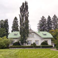
House in Otava agricultural and horticultural institution
11 km
Building in Mikkeli Old barracks
895 mReviews
Visited this place? Tap the stars to rate it and share your experience / photos with the community! Try now! You can cancel it anytime.
Discover hidden gems everywhere you go!
From secret cafés to breathtaking viewpoints, skip the crowded tourist spots and find places that match your style. Our app makes it easy with voice search, smart filtering, route optimization, and insider tips from travelers worldwide. Download now for the complete mobile experience.

A unique approach to discovering new places❞
— Le Figaro
All the places worth exploring❞
— France Info
A tailor-made excursion in just a few clicks❞
— 20 Minutes