Enable Location

We need your location to show you interesting places around you

Discover nearby places

Find interesting locations and hidden gems around you

Precise directions

Get accurate directions and distances to places

Your location is never shared with other users. It's only used when you tap the location button.

Montbolo

Log in to your account

Start exploring — it's free

Trusted by 63,326 travelers worldwide

Continue with Google
Continue with Apple
or

We will send you a code to connect

By continuing, you accept our Terms and Conditions and our Privacy Policy

Check your inbox

We've sent a pincode in your inbox. Please enter the code below.

Discussion Reviews 2 Photos
3.3k Popularity

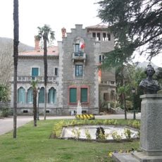
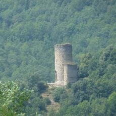
Montbolo, Rural commune in Vallespir valley, Pyrénées-Orientales department, France.

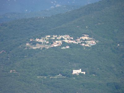
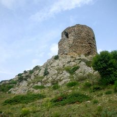
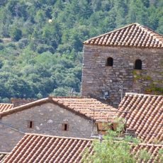
Montbolo covers twenty-two square kilometers in the Vallespir valley, featuring mountainous terrain with an average elevation of five hundred fourteen meters and rural landscapes where agriculture and livestock farming remain active components of local life.

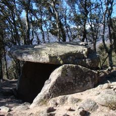
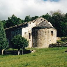
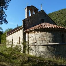
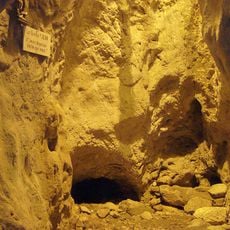
The first written mention of Montbolo dates to 993 during the consecration of Saint-Andrew church, while archaeological evidence from the Balma cave reveals Neolithic occupation with stone axes dating back approximately four thousand years before the common era.

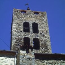
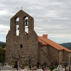
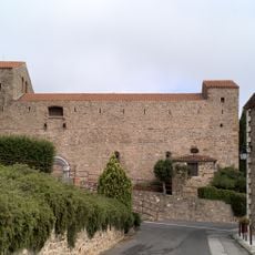
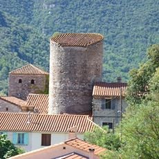
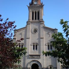
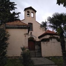
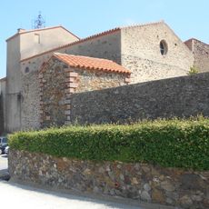
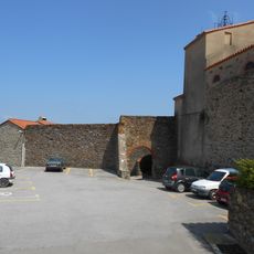
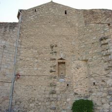
The Romanesque Saint-Andrew church, consecrated in 993, serves as the cultural centerpiece with its single nave, straight chevet apses, and baroque altarpiece from 1711, while the ancestral Rodella tradition has continued since 1465 as a religious community celebration.

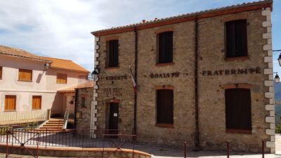
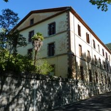
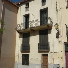
Accessible from Perpignan via departmental road 900, Montbolo houses approximately one hundred eighty-nine residents and maintains its town hall at 4 rue de l'Église, currently administered by Mayor Lucien Julia during the present mandate.

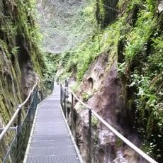
The village features a geological trail designed by J.M. Vargas that showcases characteristic rocks and minerals of the Pyrénées-Orientales region within a wooded area, enhancing understanding of local geological diversity through educational displays.

The community of curious travelers

AroundUs brings together thousands of curated places, local tips, and hidden gems, enriched daily by 60,000 contributors worldwide.

Start exploring
Location
Location
Communauté de communes du Haut Vallespir
Elevation above the sea
640 m
Shares border with
Taulis, Saint-Marsal, Taillet, Reynès, Amélie-les-Bains-Palalda, Arles-sur-Tech, Corsavy
Address
2 rue de l'Église, 66110 Montbolo
Phone
GPS coordinates
42.48472,2.65528
Latest update
July 30, 2025 08:16
Reviews
Share your experience

No review yet

Discussions
Start a discussion...

No discussion yet

« Montbolo - Rural commune in Vallespir valley, Pyrénées-Orientales department, France » is provided by Around Us (aroundus.com). Images and texts are derived from Wikimedia project under a Creative Commons license. You are allowed to copy, distribute, and modify copies of this page, under the conditions set by the license, as long as this note is clearly visible.

Discover hidden gems everywhere you go!

From secret cafés to breathtaking viewpoints, skip the crowded tourist spots and find places that match your style. Our app makes it easy with voice search, smart filtering, route optimization, and insider tips from travelers worldwide. Download now for the complete mobile experience.

Around Us App Screenshot

A unique approach to discovering new places

Le Figaro

All the places worth exploring

France Info

A tailor-made excursion in just a few clicks

20 Minutes

Around Us
Travel Guide & Maps
Download

Send to your phone

QR Code
1

Open the camera app on your mobile.

2

Point at the QR code with your camera. A notification will appear.

3

Tap the notification to open the link.