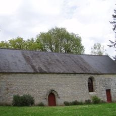
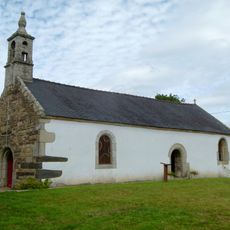
Quistinic, Rural commune in the Morbihan department, Brittany, France.
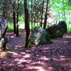
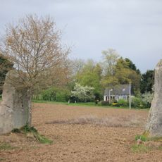
Quistinic covers approximately 42.95 square kilometers of rural Breton countryside characterized by bocage landscapes, hedgerows, patchwork fields, and rolling hills at 106 meters elevation above sea level.
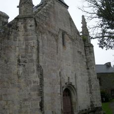
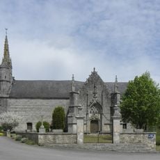
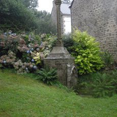
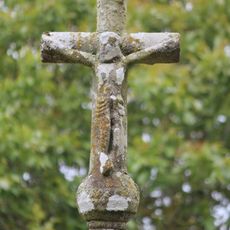
The commune traces its settlement history back several centuries with archaeological evidence indicating ancient habitation, while its name derives from Breton language meaning 'Chestnut Forest' reflecting historical woodland coverage.
Local traditions maintain strong Breton heritage through annual festivals featuring folk dances, regional costumes, traditional music ensembles, and the preservation of Breton language alongside French in community life.
Located in the canton of Plouay within Lorient arrondissement, the commune uses postal code 56310 and can be accessed via departmental roads connecting to larger cities like Lorient and Vannes.
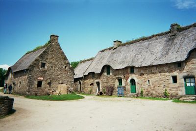
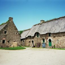
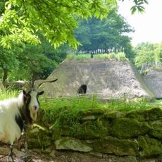
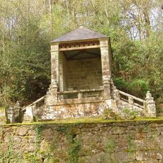
The village houses Poul Fétan, a reconstructed traditional farmstead using authentic materials that demonstrates early twentieth-century rural Breton life through its thatched roof houses and historical lavoirs.
Location: canton of Plouay
Location: Morbihan
Location: Lorient Agglomeration
Location: arrondissement of Lorient
Elevation above the sea: 106 m
Shares border with: Melrand, Saint-Barthélemy, Baud, Languidic, Lanvaudan, Bubry
Address: 56310 Quistinic, France 56310 Quistinic
Phone: +33297397108
Email: mairie.quistinic@wanadoo.fr
Website: http://quistinic.fr
GPS coordinates: 47.90500,-3.13417
Latest update: September 23, 2025 12:58
Village de l'an Mil
7.5 km
Château de la Villeneuve-Jacquelot
3.8 km
Chapelle Saint-Yves
4.9 km
Alignement de Kersolan
7.9 km
Chapelle Notre-Dame du Guelhouit
7.8 km
Chapelle Saint-Adrien de Saint-Barthélemy
4.4 km
Chapelle de Locmaria de Quistinic
2.4 km
Église Saint-Pierre de Quistinic
76 m
Chapelle Notre-Dame-du-Cloître
3.3 km
Chapelle Saint-Claude
8.2 km
Calvaire sur socle et autel de Melrand
8.7 km
Fontaine et calvaire Saint-Adrien de Saint-Barthélemy
4.4 km
Croix Saint-Yves
5 km
Menhirs de Kernars
4.9 km
Croix de Ténuel
7.8 km
Croix jumelées de Boullet
5.8 km
Croix de Kerentrec'h
8.2 km
Église Saint-Pierre de Melrand
8.4 km
Église Saint-Barthélemy de Saint-Barthélemy
7.1 km
Chapelle Saint-Tremeur
7.1 km
Village - museum of Poul-Fetan
2 km
Calvaire de la Chapelle Saint-Claude
8.2 km
Chapelle Sainte-Prisque de Melrand
5.9 km
Chapelle Notre-Dame-de-Grâces de Languidic
4 km
Chapelle Saint-Mathurin
93 m
Chapelle Saint-Nicolas de Languidic
5.6 km
Chapelle de Kernec
6.4 km
Menhir de Kerdanué
3.9 kmReviews
Visited this place? Tap the stars to rate it and share your experience / photos with the community! Try now! You can cancel it anytime.
Discover hidden gems everywhere you go!
From secret cafés to breathtaking viewpoints, skip the crowded tourist spots and find places that match your style. Our app makes it easy with voice search, smart filtering, route optimization, and insider tips from travelers worldwide. Download now for the complete mobile experience.
A unique approach to discovering new places❞
— Le Figaro
All the places worth exploring❞
— France Info
A tailor-made excursion in just a few clicks❞
— 20 Minutes