Enable Location

We need your location to show you interesting places around you

Discover nearby places

Find interesting locations and hidden gems around you

Precise directions

Get accurate directions and distances to places

Your location is never shared with other users. It's only used when you tap the location button.

Pontivy

Log in to your account

Start exploring — it's free

Trusted by 63,410 travelers worldwide

Continue with Google
Continue with Apple
or

We will send you a code to connect

By continuing, you accept our Terms and Conditions and our Privacy Policy

Check your inbox

We've sent a pincode in your inbox. Please enter the code below.

Discussion Reviews 8 Photos
63.8k Popularity

Pontivy, Administrative center in Morbihan, France

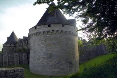
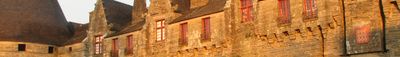
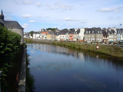
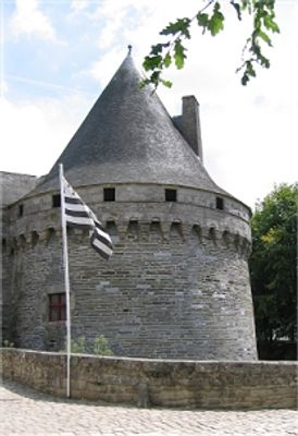
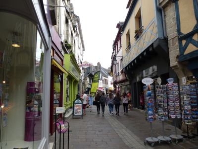
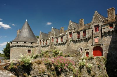
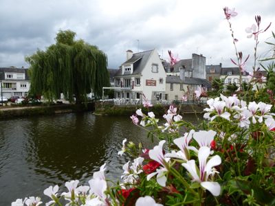
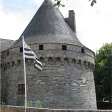
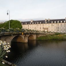
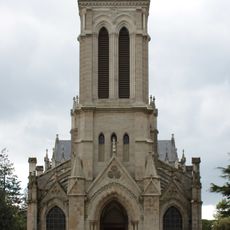
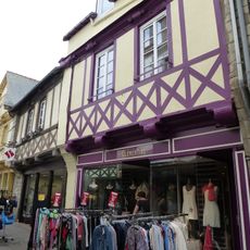
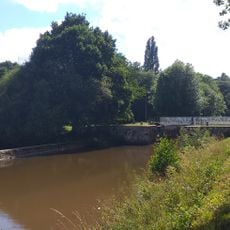
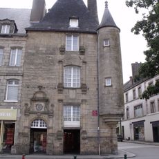
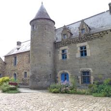
Pontivy is a commune in northern Morbihan that sits where the Blavet River meets the Canal de Nantes à Brest. The town has a medieval quarter with timber-framed houses around a castle and a newer quarter with straight streets near the canal.

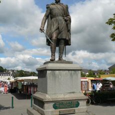
A monk named Ivy built the first bridge over the Blavet in the 7th century and gave the place its name, which means Ivy's bridge. Napoleon renamed it Napoleonville in 1804 because it was militarily important, but the old name returned after his fall.

The town goes by Pondi in Breton, and many signs use both names because the region spoke only Breton for centuries. You hear both languages at the market and in shops, with older residents switching to Breton more often.

The town sits centrally between larger cities in Brittany and works well as a stopover when driving through the region. The streets in the older quarter are narrow and cobbled, so comfortable shoes help.

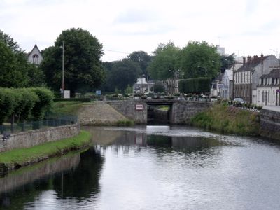
The canal links the Atlantic and the English Channel and was originally dug to bypass British blockades, but now only leisure boats pass through. Some locks still work by hand and you can watch lock keepers at work.

The community of curious travelers

AroundUs brings together thousands of curated places, local tips, and hidden gems, enriched daily by 60,000 contributors worldwide.

Start exploring
Location
Location
Pontivy Communauté
Elevation above the sea
86 m
Shares border with
Noyal-Pontivy, Saint-Thuriau, Le Sourn, Malguénac, Cléguérec, Neulliac
Address
56300 Pontivy, France
Phone
GPS coordinates
48.06861,-2.96278
Latest update
December 13, 2025 18:41
Reviews
Share your experience

No review yet

Discussions
Start a discussion...

No discussion yet

« Pontivy - Administrative center in Morbihan, France » is provided by Around Us (aroundus.com). Images and texts are derived from Wikimedia project under a Creative Commons license. You are allowed to copy, distribute, and modify copies of this page, under the conditions set by the license, as long as this note is clearly visible.

Discover hidden gems everywhere you go!

From secret cafés to breathtaking viewpoints, skip the crowded tourist spots and find places that match your style. Our app makes it easy with voice search, smart filtering, route optimization, and insider tips from travelers worldwide. Download now for the complete mobile experience.

Around Us App Screenshot

A unique approach to discovering new places

Le Figaro

All the places worth exploring

France Info

A tailor-made excursion in just a few clicks

20 Minutes

Around Us
Travel Guide & Maps
Download

Send to your phone

QR Code
1

Open the camera app on your mobile.

2

Point at the QR code with your camera. A notification will appear.

3

Tap the notification to open the link.