
Saint-Ennemond, commune in Allier, France
Location: Allier
Location: arrondissement of Moulins
Industry: administration publique générale
Shares border with: Aurouër, Gennetines, Trévol, Dornes, Lucenay-lès-Aix, Toury-Lurcy
Phone: +33470421008
Email: mairie-de-st-ennemond@wanadoo.fr
Website: http://saint-ennemond.fr
GPS coordinates: 46.67611,3.42250
Latest update: March 3, 2025 12:15


Château d'Avrilly
11 km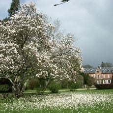
Arboretum de Balaine
13.6 km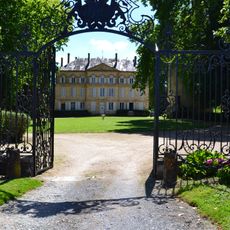
Château de Toury-Lurcy
6.9 km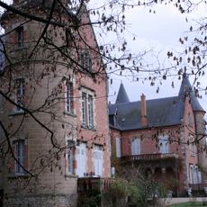
Château de Balaine
13.7 km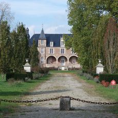
Château de Dornes
7.6 km
Château du Riau
11.2 km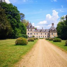
Château d'Auzon
4.6 km
Château de Pomay
11.5 km
Vierge au croissant
13.2 km
Église Saint-Pierre d'Yzeure
13.2 km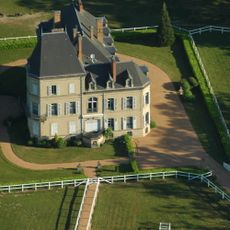
Château des Bédaures
7.4 km
Église Saint-Michel d'Avermes
13.2 km
Ancien hôtel Héron
13.8 km
Château de Panessière
5.2 km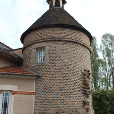
Château de Joulet
13.6 km
Ancien château d'eau
13.6 km
Maison, 25 rue de Decize
13.6 km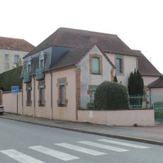
Immeuble, 155 rue de Bourgogne
13.4 km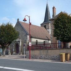
Église Saint-Julien de Dornes
7 km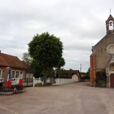
Église Sainte-Anne de La Chapelle-aux-Chasses
8.5 km
Église Saint-Sulpice d'Aurouër
9.4 km
Église Saint-Pierre-aux-Liens de Neuville-lès-Decize
13.2 km
Église Notre-Dame de Villeneuve-sur-Allier
13.3 km
Église Saint-Laurent de Saint-Ennemond
48 m
Église Saint-Martin de Cossaye
9.4 km
Église Saint-Martin de Toury-Lurcy
7 km
Église Saint-Germain de Saint-Germain-Chassenay
11.4 km
Chapelle priorale clunisienne Saint-Mayeul
9.8 kmReviews
Visited this place? Tap the stars to rate it and share your experience / photos with the community! Try now! You can cancel it anytime.
Discover hidden gems everywhere you go!
From secret cafés to breathtaking viewpoints, skip the crowded tourist spots and find places that match your style. Our app makes it easy with voice search, smart filtering, route optimization, and insider tips from travelers worldwide. Download now for the complete mobile experience.

A unique approach to discovering new places❞
— Le Figaro
All the places worth exploring❞
— France Info
A tailor-made excursion in just a few clicks❞
— 20 Minutes