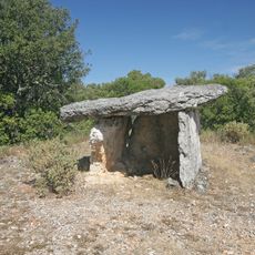
Aiguèze, Medieval village in Gard, France
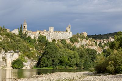
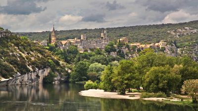
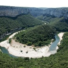
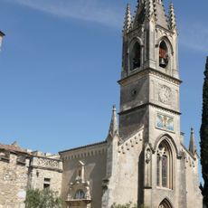
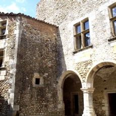
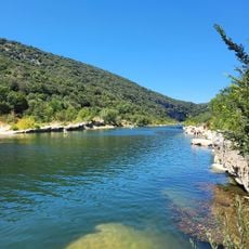
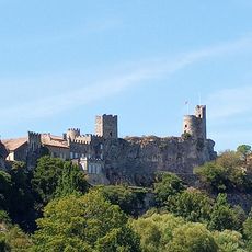
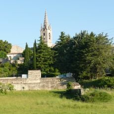
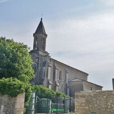
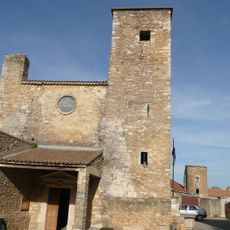
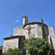
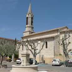
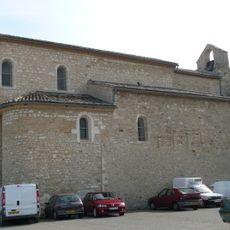
Aiguèze is a village perched on a limestone cliff above the Ardèche River, defined by narrow stone streets and traditional houses with red tile roofs. The settlement rises in layers up the slope, with buildings organically built into the rock face itself.
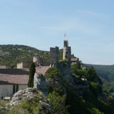
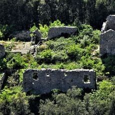
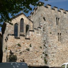
The village developed in the medieval period with a fortress at its highest point serving as a strategic military post controlling river navigation on the Ardèche and Rhône. This defensive structure shaped the settlement for centuries, leaving its mark on the layout of streets and walls we see today.
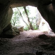
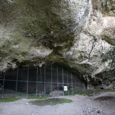
The name comes from the needle-like shape of the cliff on which it stands, reflecting how the landscape inspired the community's identity. This connection between the sharp rocky point and the village's character is still visible in how the buildings cling to the stone formations.
The site is best explored on foot, as steep lanes and narrow passages are unsuitable for vehicles. Visitors should wear sturdy shoes and be prepared for elevation changes throughout the walk.
The village was the first in the Gard department to receive the Les Plus Beaux Villages de France designation. This recognition came earlier than for many other better-known locations in the region.
Location: Gard
Location: arrondissement of Nîmes
Elevation above the sea: 237 m
Shares border with: Bidon, Saint-Marcel-d'Ardèche, Saint-Martin-d'Ardèche, Saint-Remèze, Le Garn, Laval-Saint-Roman, Saint-Christol-de-Rodières, Saint-Julien-de-Peyrolas, Salazac
Address: 30760 Aiguèze, France
Phone: +33466821477
Email: mairie.aigueze@orange.fr
Website: http://aigueze.fr
GPS coordinates: 44.30333,4.55583
Latest update: December 10, 2025 15:56
Cave Saint-Marcel-d'Ardèche
3.4 km
Réserve naturelle nationale des gorges de l'Ardèche
8.2 km
Grotte de la Madeleine
6.9 km
Maison de Max Ernst
1.3 km
Grotte de la Tête du Lion
2.8 km
Château d'Aiguèze
73 m
Grotte des Deux ouvertures
2.2 km
Vestiges
5.9 km
Église Saint-Roch d'Aiguèze
104 m
Baume d'Oullins
8.9 km
Château du Bosquet
2.2 km
Plage de Sauze
929 m
Dolmens du Chanet
7.8 km
Chapelle Saint-Sulpice
3 km
Pradinas dolmen
5.5 km
Grosse Pierre
3.5 km
Colombier dolmen
3.2 km
Plage du Grain de Sel
574 m
Église Saint-Étienne de Issirac
6.9 km
Église Sainte-Anne de Laval-Saint-Roman
4 km
Église Saint-Clément de Salazac
5.3 km
Église Saint-Christophe de Saint-Christol-de-Rodières
5.2 km
Église Saint-Martin de Saint-Martin-d'Ardèche
828 m
Église de Le Garn
6.7 km
Église de Saint-Julien-de-Peyrolas
1.9 km
Chapelle de l'ancien hôpital fortifié d'Aiguèze
75 m
Grotte Huchard
2.2 km
Chapelle Notre-Dame-de-Bon-Secours de Malataverne
6.9 kmVisited this place? Tap the stars to rate it and share your experience / photos with the community! Try now! You can cancel it anytime.
Discover hidden gems everywhere you go!
From secret cafés to breathtaking viewpoints, skip the crowded tourist spots and find places that match your style. Our app makes it easy with voice search, smart filtering, route optimization, and insider tips from travelers worldwide. Download now for the complete mobile experience.
A unique approach to discovering new places❞
— Le Figaro
All the places worth exploring❞
— France Info
A tailor-made excursion in just a few clicks❞
— 20 Minutes