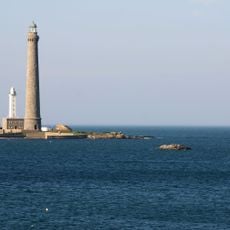
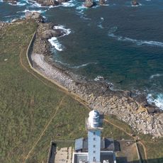
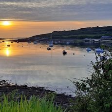
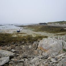
Aber Wrac'h, Coastal river in Brittany, France.
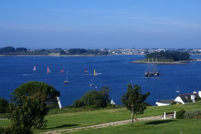
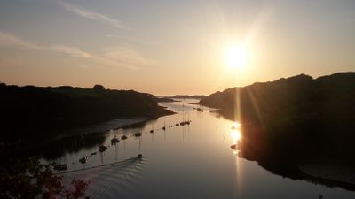
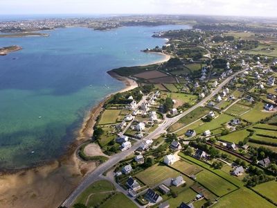
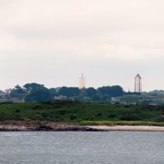
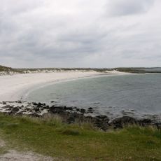
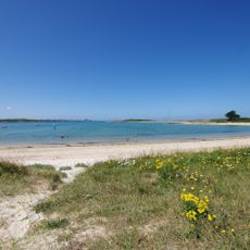
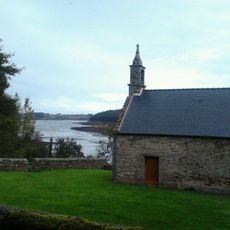
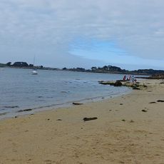
Aber Wrac'h is a coastal river estuary in Brittany that flows from Langazel peat bogs through forests and meadows before reaching the Celtic Sea near Brest. The waters shift between freshwater and tidal conditions, creating a landscape where two environments meet and mix.
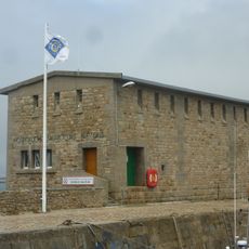
The river gained military importance during World War I when the United States Navy built a seaplane station there in 1918. This wartime presence ended with the war's conclusion, leaving little visible trace in the landscape today.
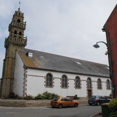
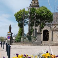
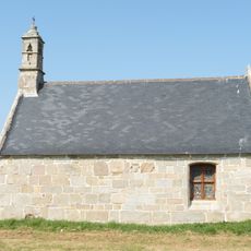
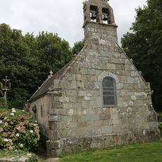
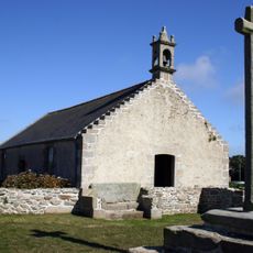
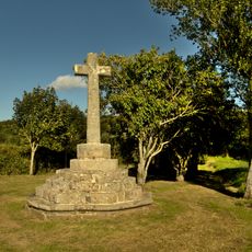
The name Aber Wrac'h comes from Breton language, possibly referencing the first rock in the channel or connections to local folklore. The river holds meaning in the region's cultural identity and is part of daily life for the communities living along its banks.
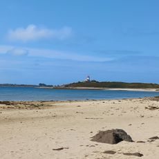
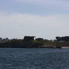
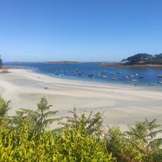
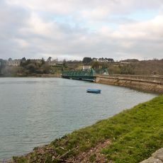
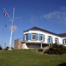
The marina at Aber Wrac'h provides facilities for sailing and water sports with modern docking areas. Visitors should pay attention to tidal changes, as they significantly affect water levels and access throughout the day.
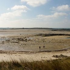
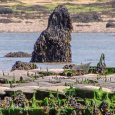
The Devil's Bridge is a mysterious stone structure visible only at low tide, hinting at construction methods from ages past. This hidden structure suggests the region had settlements during prehistoric or early medieval times.
The community of curious travelers
AroundUs brings together thousands of curated places, local tips, and hidden gems, enriched daily by 60,000 contributors worldwide.