
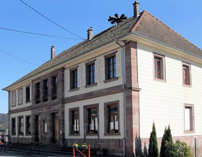
Dolleren, commune in Haut-Rhin, France
Location: Haut-Rhin
Location: arrondissement of Thann-Guebwiller
Industry: administration publique générale
Shares border with: Oberbruck, Sewen, Kirchberg, Wegscheid, Lamadeleine-Val-des-Anges, Riervescemont
Phone: +33389820212
Email: mairie.dolleren@tv-com.net
Website: http://dolleren.fr
GPS coordinates: 47.80583,6.93194
Latest update: June 2, 2025 07:09
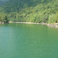
Lac d'Alfeld
4.6 km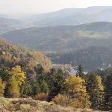
Lacs des Grand et Petit Neuweiher
3.6 km
Haute Bers
4.7 km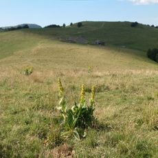
Wissgrut
5.5 km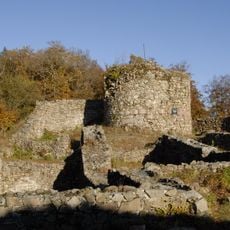
Château de Rougemont
7 km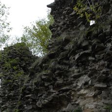
Château du Rosemont
7.2 km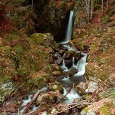
Saut de la Truite
7.5 km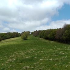
Tête des Perches
5 km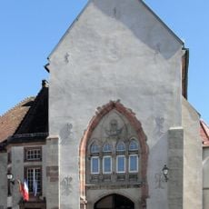
Abbaye de Masevaux
6.1 km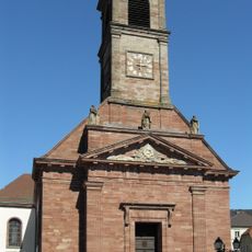
Église Saint-Martin de Masevaux
5.8 km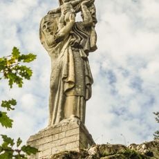
La Vierge d'Alsace
3.4 km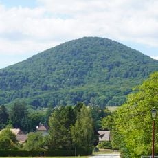
Fayé
7.8 km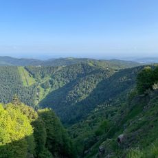
Ballon d'Alsace
6.8 km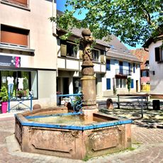
Fontaine de Masevaux
5.9 km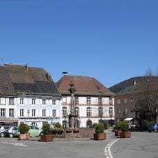
Fontaine de Masevaux
6 km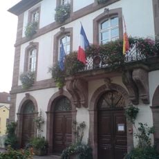
Hôtel de ville de Masevaux
6.1 km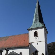
Cimetière de Sewen
2 km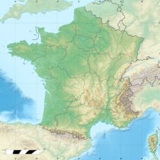
Cascade du Gazon Vert
5.5 km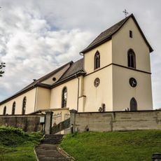
Église Saint-Vincent
2.1 km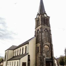
Église de l'Exaltation-de-la-Sainte-Croix de Dolleren
87 m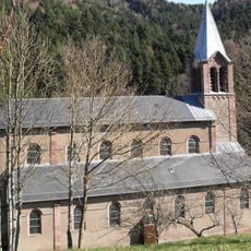
Église Saint-Augustin de Rimbach-près-Masevaux
2.5 km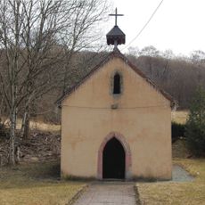
Chapelle Sainte-Madeleine de Lamadeleine-Val-des-Anges
5.2 km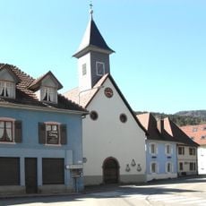
Église Saint-Antoine-de-Padoue
839 m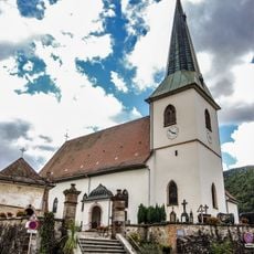
Église Notre-Dame de Sewen
2 km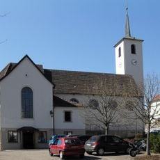
Église de la Vierge-Auxiliatrice
4.3 km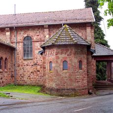
Chapelle Saint-Nicolas de Saint-Nicolas
6.4 km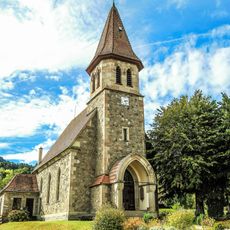
Chapelle Saint-Wendelin de Niederbruck
3.6 km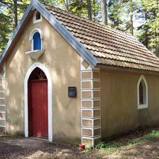
Chapelle Sainte-Catherine de Rougemont-le-Château
6.5 kmVisited this place? Tap the stars to rate it and share your experience / photos with the community! Try now! You can cancel it anytime.
Discover hidden gems everywhere you go!
From secret cafés to breathtaking viewpoints, skip the crowded tourist spots and find places that match your style. Our app makes it easy with voice search, smart filtering, route optimization, and insider tips from travelers worldwide. Download now for the complete mobile experience.

A unique approach to discovering new places❞
— Le Figaro
All the places worth exploring❞
— France Info
A tailor-made excursion in just a few clicks❞
— 20 Minutes