Serra-di-Scopamène, commune in Corse-du-Sud, France
Location: canton of Tallano-Scopamène
Location: Corse-du-Sud
Location: arrondissement of Sartène
Elevation above the sea: 1,020 m
Shares border with: Levie, Aullène, Quenza, Sorbollano, Zérubia, Zicavo, Zoza
Phone: +33495786013
Email: serradiscopamena@gmail.com
GPS coordinates: 41.75389,9.09917
Latest update: May 27, 2025 14:30
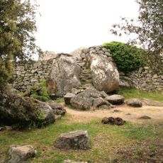
Cucuruzzu
4 km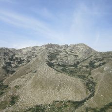
Alcudina
13.9 km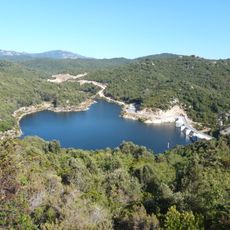
Lac du Rizzanese
7.1 km
Cumpuleddu
11.7 km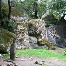
Capula
4.5 km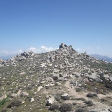
Monte San Petru
8.9 km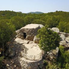
Circuit Archéologique de Cucuruzzu et Capula
4.4 km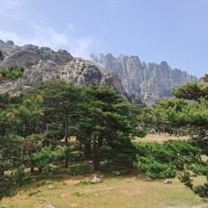
Variante Alpine via les Aiguilles de Bavella
11.3 km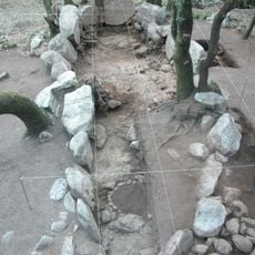
Cuciurpula
1.6 km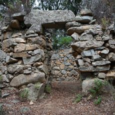
Monument torréen de Foce
10.5 km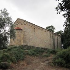
Église Saint-Jean de Sainte-Lucie-de-Tallano
6.7 km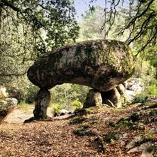
Pacciunituli dolmen
6.3 km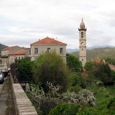
Église Saint-Nicolas de Levie
6.1 km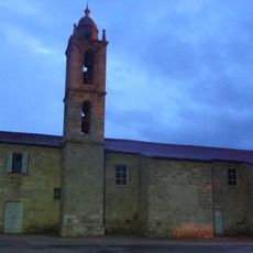
Église Saint-Nicolas d'Aullène
2.3 km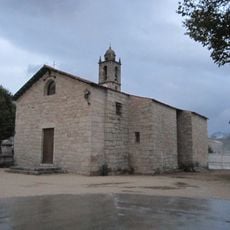
Église Saint-Georges de Quenza
3.5 km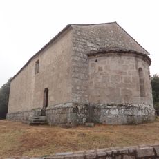
Chapelle Sainte-Marie de Quenza
3.1 km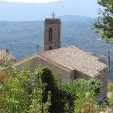
Église Saint-Nicolas de Serra-di-Scopamène
3.1 km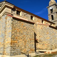
Église San-Pantaleone d'Altagène
5.8 km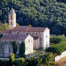
Couvent Saint-François de Sainte-Lucie-de-Tallano
7.1 km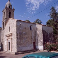
Église de l'Assomption de Mela
6.4 km
Église Saint-François de l'ancien couvent de Sainte-Lucie-de-Tallano
7.1 km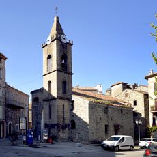
Église Santa Lucia de Sainte-Lucie-de-Tallano
7 km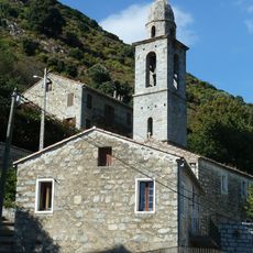
Église Saint-Paul de Cargiaca
4.9 km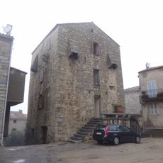
Maison fortifiée de Sainte-Lucie-de-Tallano
7 km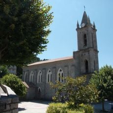
Church of the Assumption in Zonza
6 km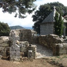
Église Santa-Maria-Assunta de Mela
6.6 km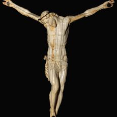
Christ on the cross
5.9 km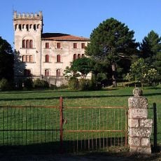
Château de Quenza
3.8 kmVisited this place? Tap the stars to rate it and share your experience / photos with the community! Try now! You can cancel it anytime.
Discover hidden gems everywhere you go!
From secret cafés to breathtaking viewpoints, skip the crowded tourist spots and find places that match your style. Our app makes it easy with voice search, smart filtering, route optimization, and insider tips from travelers worldwide. Download now for the complete mobile experience.

A unique approach to discovering new places❞
— Le Figaro
All the places worth exploring❞
— France Info
A tailor-made excursion in just a few clicks❞
— 20 Minutes