Roissy-en-France, Administrative commune in Val-d'Oise, France
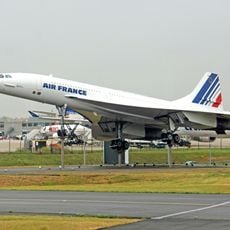
Roissy-en-France is a commune in Val-d'Oise north of Paris covering roughly 14 square kilometers. A substantial portion of Charles de Gaulle Airport extends across the commune's territory and shapes its layout.
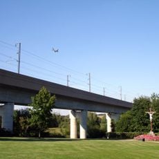
The commune was established in 1968 from parts of Seine-et-Oise, shifting from agricultural land into suburban territory. The construction and expansion of Charles de Gaulle Airport in the 1970s fundamentally altered the area.
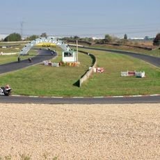
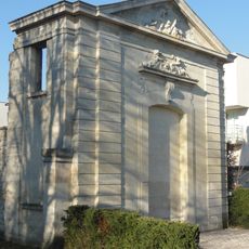
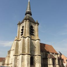
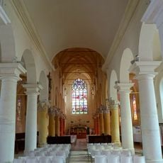
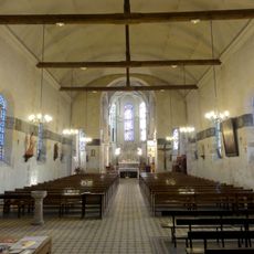
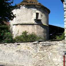
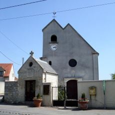
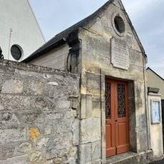
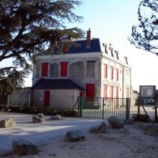
The village maintains its local character despite airport proximity, with a cultural center that hosts exhibitions and events for residents. This blend of rural tradition and modern development shapes the community's identity.
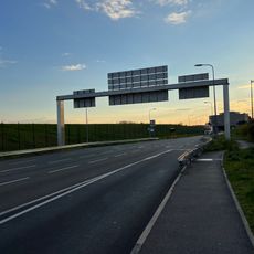
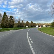
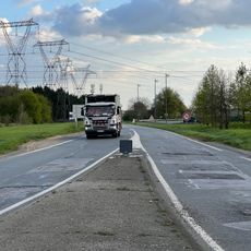
The location is well connected to Paris by road and lies near railway stations serving the airport. Visitors should expect flight noise in many areas and note that infrastructure is primarily airport-oriented.
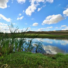
Despite its importance to aviation, the place remains largely invisible to many travelers, as the airport occupies most attention. The commune itself preserves quiet residential areas that exist beyond the airport infrastructure.
Location: Val-d'Oise
Location: arrondissement of Sarcelles
Location: Communauté d’agglomération Roissy Pays de France
Elevation above the sea: 116 m
Shares border with: Épiais-lès-Louvres, Vaudherland, Mauregard, Tremblay-en-France, Gonesse, Goussainville, Louvres, Le Thillay
Phone: +33134294300
Email: accueil@ville-roissy95.fr
Website: https://roissyenfrance.fr
GPS coordinates: 49.00417,2.51806
Latest update: December 19, 2025 23:42
Circuit Carole
3 km
Château des Caramans
236 m
Église Saint-Denys
3.6 km
Church of Saint-Médard, Tremblay-en-France
4 km
St. Eloi Church
460 m
Concorde 215
2.7 km
Pigeonnier de la ferme de Montmorency
3.8 km
Golf de Roissy
1.5 km
Parc du Château Bleu
3.5 kmPyramide
2.4 km
Église Notre-Dame-des-Victoires de Vaudherland
2.3 km
Crould Viaduct
3.6 km
Route de l'Épinette
2.8 km
Chapelle Notre-Dame-des-Victoires de Vaudherland
2.3 km
Route Périphérique Sud
3.6 km
Château des Tournelles
3.5 km
Route de la Croix au Plâtre
2.6 kmPavillon du centenaire de l'aluminium
3.6 kmSpotting location
2.7 kmScenic viewpoint
1.1 kmSculpture, Work of art
199 mPA_497
789 mWayside cross
3.4 kmMemorial
2.3 kmWayside cross
2.5 kmWayside cross
3.8 kmMemorial, war memorial
3.3 kmPavillon de l'aluminium
3.6 kmVisited this place? Tap the stars to rate it and share your experience / photos with the community! Try now! You can cancel it anytime.
Discover hidden gems everywhere you go!
From secret cafés to breathtaking viewpoints, skip the crowded tourist spots and find places that match your style. Our app makes it easy with voice search, smart filtering, route optimization, and insider tips from travelers worldwide. Download now for the complete mobile experience.
A unique approach to discovering new places❞
— Le Figaro
All the places worth exploring❞
— France Info
A tailor-made excursion in just a few clicks❞
— 20 Minutes