
Saint-Alban, commune in Ain, France
Location: Ain
Location: arrondissement of Nantua
Elevation above the sea: 528 m
Shares border with: Ceignes, Cerdon, Challes-la-Montagne, Labalme, Poncin
Phone: +33474373781
Email: mairie.st.alban@orange.fr
GPS coordinates: 46.09556,5.45333
Latest update: June 6, 2025 19:40

Château de La Cueille
2.8 km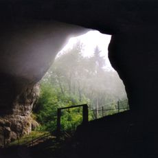
Grottes du Cerdon
2.3 km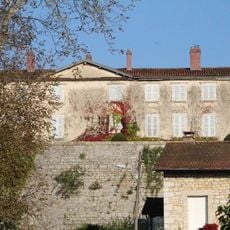
Château de Poncin
3.4 km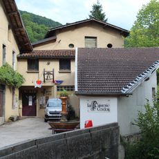
Cuivrerie de Cerdon
1.6 km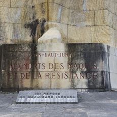
Monument des Maquis de l'Ain
3.6 km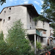
Moulin à farine de Cerdon
1.9 km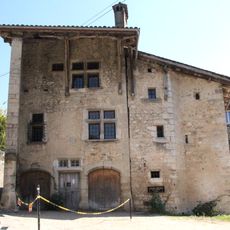
Maison au lieu-dit la Suisse
2.3 km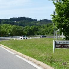
La Fugue du Bugey
4 km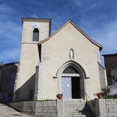
Église Saint-Éloi de Mérignat
3.2 km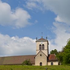
Église Saint-Jean-Baptiste de Cerdon
1.9 km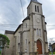
Église Saint-Alban de Chamagnat
1.1 km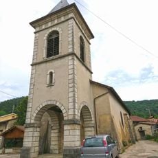
Église Saint-Pierre-aux-Liens de Challes-la-Montagne
3.4 km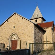
Église Saint-Amand de Labalme
2.3 km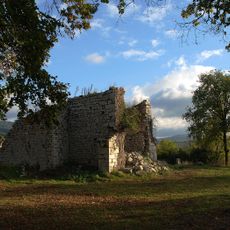
Église Saint-Alban ruinée de Saint-Alban
1.3 km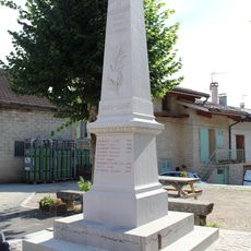
War memorial of Mérignat
3.2 km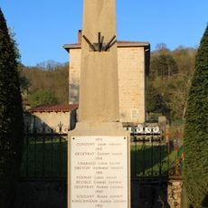
War memorial of Labalme
2.3 km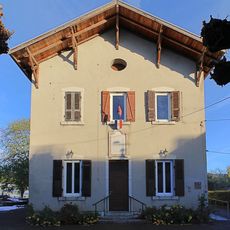
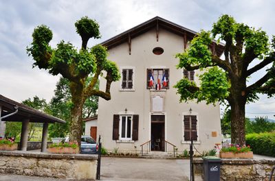
Mairie de Saint-Alban
127 m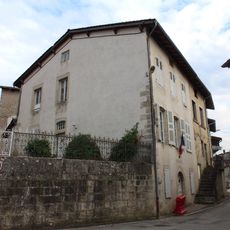
Mairie de Mérignat
3.2 km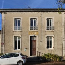
Town hall of Challes-la-Montagne
3.3 km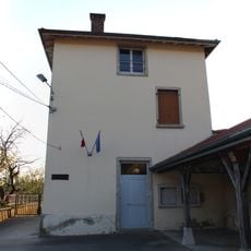
Town hall of Labalme
2.3 km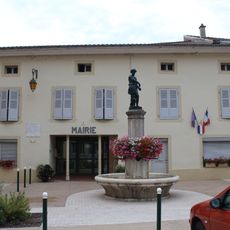
Town hall of Cerdon
1.9 km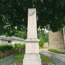
War memorial of Challes-la-Montagne
3.3 km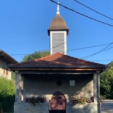
Chapelle Saint-Christophe de Leymiat
2.6 km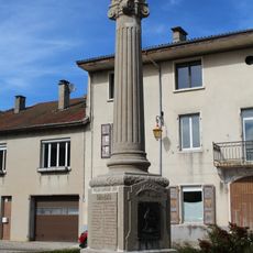
War memorial of Cerdon
1.8 km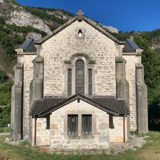
Chapelle Notre-Dame de Préau
3.4 km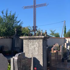
Cemetery cross of Mérignat
3.3 km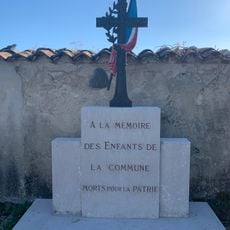
War memorial of Cemetery of Mérignat
3.4 km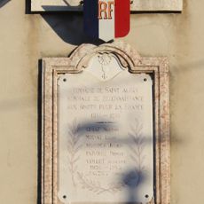
War memorial of Saint-Alban
132 mVisited this place? Tap the stars to rate it and share your experience / photos with the community! Try now! You can cancel it anytime.
Discover hidden gems everywhere you go!
From secret cafés to breathtaking viewpoints, skip the crowded tourist spots and find places that match your style. Our app makes it easy with voice search, smart filtering, route optimization, and insider tips from travelers worldwide. Download now for the complete mobile experience.

A unique approach to discovering new places❞
— Le Figaro
All the places worth exploring❞
— France Info
A tailor-made excursion in just a few clicks❞
— 20 Minutes