Enable Location

We need your location to show you interesting places around you

Discover nearby places

Find interesting locations and hidden gems around you

Precise directions

Get accurate directions and distances to places

Your location is never shared with other users. It's only used when you tap the location button.

Lamorlaye

Log in to your account

Start exploring — it's free

Trusted by 61,473 travelers worldwide

Continue with Google
Continue with Apple
or

We will send you a code to connect

By continuing, you accept our Terms and Conditions and our Privacy Policy

Check your inbox

We've sent a pincode in your inbox. Please enter the code below.

Lamorlaye, Administrative division in Oise department, France.

Description

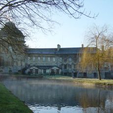
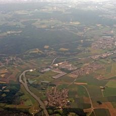
Lamorlaye is a commune in the Oise department with residential areas surrounded by woodlands and equestrian facilities scattered across the landscape. The village spreads across rolling countryside north of Paris with a mix of houses, forests, and riding grounds.

History

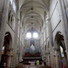
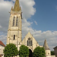
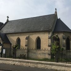
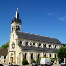
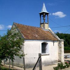
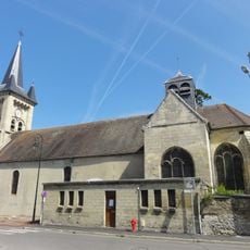
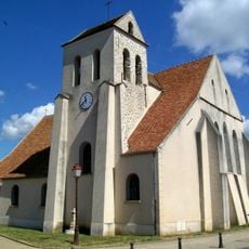
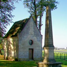
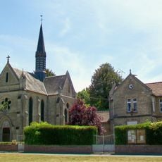
The village developed as a rural settlement over centuries in the countryside north of Paris. The Church of Saint-Nicolas was demolished in the late 1700s and reconstructed in the 1800s, incorporating a 15th-century statue of the Virgin.

Culture

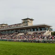
The community has deep ties to horse riding, with numerous stables and training facilities that shape daily life here. You can see this tradition woven throughout the landscape, where horses and riding grounds are a natural part of the scenery.

Practical

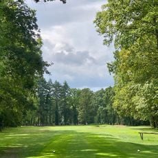
The village is best explored by car since residential areas and riding facilities are spread across the territory. Visitors should allow time for walks through the surrounding forests to fully appreciate the landscape and quiet countryside.

Did you know?

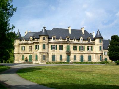
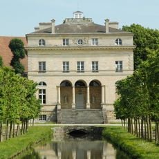
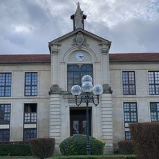
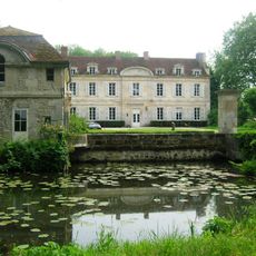
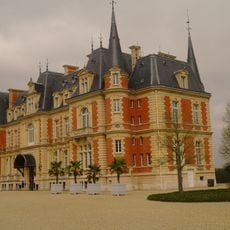
The Manor of Bois Larris, built in the early 1900s, stands as a reminder of the area's prosperous rural past when wealthy families from Paris built country estates here. The manor reflects the architectural style and social patterns of that era in the French countryside.

Location
Elevation above the sea
42 m
Shares border with
Gouvieux, Boran-sur-Oise, Chantilly, Coye-la-Forêt, Asnières-sur-Oise
Phone
GPS coordinates
49.15500,2.44083
Latest update
December 7, 2025 19:23

AroundUs brings together thousands of curated places, local tips, and hidden gems, enriched daily by 60,000 contributors worldwide. Discover all places nearby (Oise).

« Lamorlaye - Administrative division in Oise department, France » is provided by Around Us (aroundus.com). Images and texts are derived from Wikimedia project under a Creative Commons license. You are allowed to copy, distribute, and modify copies of this page, under the conditions set by the license, as long as this note is clearly visible.

Discover hidden gems everywhere you go!

From secret cafés to breathtaking viewpoints, skip the crowded tourist spots and find places that match your style. Our app makes it easy with voice search, smart filtering, route optimization, and insider tips from travelers worldwide. Download now for the complete mobile experience.

Around Us App Screenshot

A unique approach to discovering new places

Le Figaro

All the places worth exploring

France Info

A tailor-made excursion in just a few clicks

20 Minutes

Around Us
Travel Guide & Maps
Download

Send to your phone

QR Code
1

Open the camera app on your mobile.

2

Point at the QR code with your camera. A notification will appear.

3

Tap the notification to open the link.