
Canton of la Ferté-Saint-Aubin, canton of France
Location: Loiret
Inception: March 22, 2015
Capital city: La Ferté-Saint-Aubin
GPS coordinates: 47.71722,1.94139
Latest update: March 14, 2025 11:05
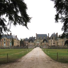
Château de la Ferté
1 km
Federal Equestrian Park
13.6 km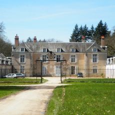
Château de Boisgibault
9.7 km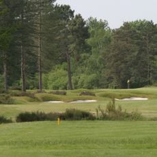
Golf des Aisses
3.3 km
Château de La Porte
12.3 km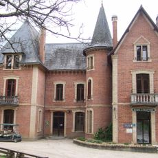
Domaine du Ciran
6.3 km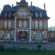
Château de Morchêne
12.3 km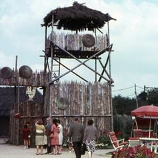
Floralix
13.7 km
Tuilerie de la Bretèche
10.7 km
Golf de Limère
11.6 km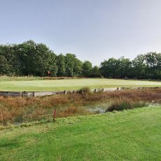
Golf de Marcilly
9.1 km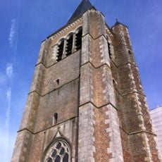
Église Saint-Pierre de Vouzon
11.8 km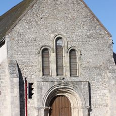
Église Saint-Pierre de Jouy-le-Potier
10.3 km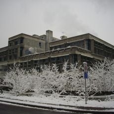
Service inter-régional de traitement de l'information
12.8 km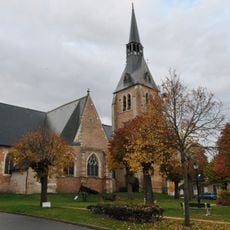
Église Saint-Étienne de Chaumont-sur-Tharonne
12.2 km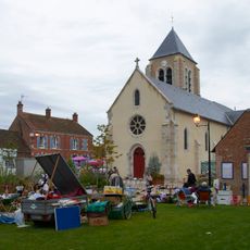
Église Notre-Dame de Ménestreau-en-Villette
6.4 km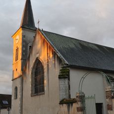
Église Saint-Pierre d'Ardon
8.5 km
Golf des Aisses
3.1 km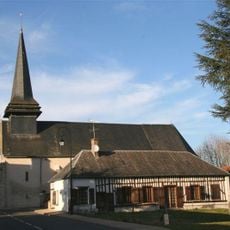
Église Saint-Martin de Ligny-le-Ribault
12.5 km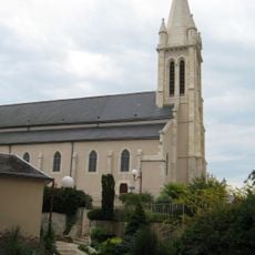
Église Saint-Cyr de Saint-Cyr-en-Val
12.9 km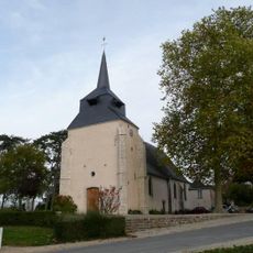
Église Saint-Caprais d'Yvoy-le-Marron
11.5 km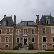
Château de Villette
7.3 km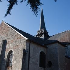
Église Saint-Michel de La Ferté-Saint-Aubin
888 m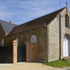
Chapelle de Vouzon
12 km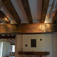
Presbytère de Vouzon
11.9 km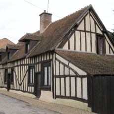
Timber framing houses, La Ferté-Saint-Aubin
854 m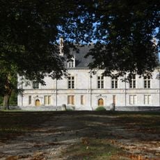
Château de Cormes
9.7 km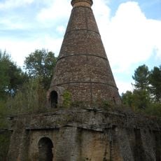
Tuilerie de Pont-Long
6.4 kmReviews
Visited this place? Tap the stars to rate it and share your experience / photos with the community! Try now! You can cancel it anytime.
Discover hidden gems everywhere you go!
From secret cafés to breathtaking viewpoints, skip the crowded tourist spots and find places that match your style. Our app makes it easy with voice search, smart filtering, route optimization, and insider tips from travelers worldwide. Download now for the complete mobile experience.

A unique approach to discovering new places❞
— Le Figaro
All the places worth exploring❞
— France Info
A tailor-made excursion in just a few clicks❞
— 20 Minutes