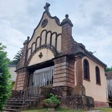
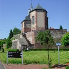
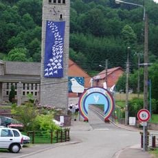
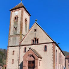
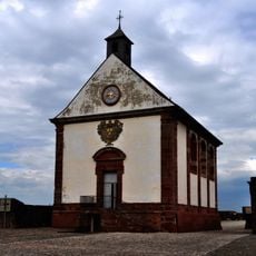
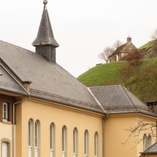
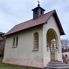
Ouvrage Simserhof, Military fortification in Siersthal, France.
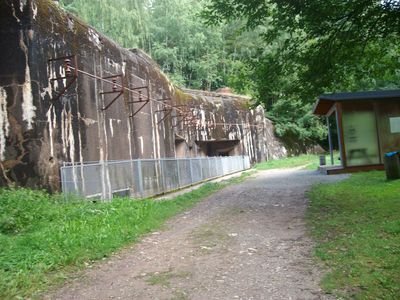
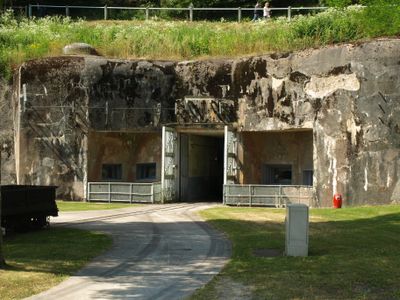
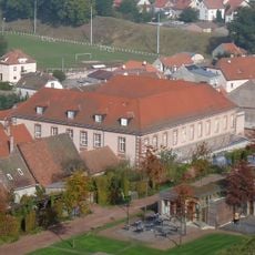
Ouvrage Simserhof is a large underground military fortification built beneath a hillside in Siersthal, featuring about 5 kilometers of galleries and over 1,700 meters of rail tracks for moving supplies and equipment. The complex contains separate sections for barracks, kitchens, medical facilities, a power plant, and command centers, all connected underground.
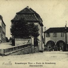
The fort was built between 1929 and 1935 as part of France's defensive line against potential German attacks. In June 1940, the 876-strong garrison surrendered following the French armistice, and German forces took control of the installation.
The fort's name comes from the nearby Siers stream and the hillside where it was built. The walls in the living quarters display hand-painted frescoes showing soldiers going about their daily routines, offering a glimpse into how troops actually lived during the 1930s.
The fort is accessible only through guided tours that lead visitors through the underground sections and provide a comprehensive overview of the complex. The best time to visit is from March to November when tours run regularly.
The fort's power plant was equipped with Sulzer diesel generators that allowed the installation to operate completely independent from outside electricity sources. This self-sufficiency was a key strategic advantage for keeping the garrison operational during active service.
The community of curious travelers
AroundUs brings together thousands of curated places, local tips, and hidden gems, enriched daily by 60,000 contributors worldwide.