Enable Location

We need your location to show you interesting places around you

Discover nearby places

Find interesting locations and hidden gems around you

Precise directions

Get accurate directions and distances to places

Your location is never shared with other users. It's only used when you tap the location button.

Abarratea

Log in to your account

Start exploring — it's free

Trusted by 62,516 travelers worldwide

Continue with Google
Continue with Apple
or

We will send you a code to connect

By continuing, you accept our Terms and Conditions and our Privacy Policy

Check your inbox

We've sent a pincode in your inbox. Please enter the code below.

Abarratea

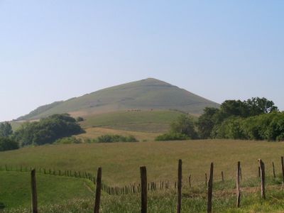
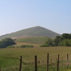
Abarratea, Mountain summit in Ayherre, France.

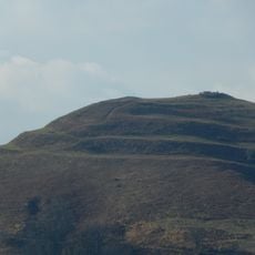
Abarratea is a mountain peak in the French Pyrenees, situated near Ayherre with an elevation of around 341 meters. The summit offers wide views across the Adour plain and the surrounding mountain ridges.

In ancient times, this peak served as a gaztelu, a fortified defensive position with three concentric earthen rings built around the summit. The fortifications were strategically designed to protect the high point.

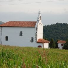
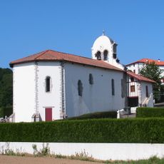
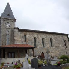
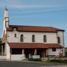
The area around this peak reflects Basque traditions that shape how locals use the land and maintain their connection to the countryside. Herding practices have been part of this landscape for generations and remain visible in how the terrain is managed.

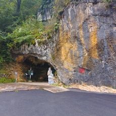
A hiking trail reaches the summit starting from a point near a quarry, which is located on the road connecting Hasparren and Saint-Esteben. The route is well-marked and accessible for those with moderate fitness.

The three earthen rings at the summit remain clearly visible and form concentric circles showing how ancient defenders used the terrain strategically. These remains are among the best examples of such fortification in the region.

The community of curious travelers

AroundUs brings together thousands of curated places, local tips, and hidden gems, enriched daily by 60,000 contributors worldwide.

Start exploring
Location
Location
Elevation above the sea
342 m
GPS coordinates
43.35799,-1.23308
Latest update
December 14, 2025 20:28
« Abarratea - Mountain summit in Ayherre, France » is provided by Around Us (aroundus.com). Images and texts are derived from Wikimedia project under a Creative Commons license. You are allowed to copy, distribute, and modify copies of this page, under the conditions set by the license, as long as this note is clearly visible.

Discover hidden gems everywhere you go!

From secret cafés to breathtaking viewpoints, skip the crowded tourist spots and find places that match your style. Our app makes it easy with voice search, smart filtering, route optimization, and insider tips from travelers worldwide. Download now for the complete mobile experience.

Around Us App Screenshot

A unique approach to discovering new places

Le Figaro

All the places worth exploring

France Info

A tailor-made excursion in just a few clicks

20 Minutes

Around Us
Travel Guide & Maps
Download

Send to your phone

QR Code
1

Open the camera app on your mobile.

2

Point at the QR code with your camera. A notification will appear.

3

Tap the notification to open the link.