Enable Location

We need your location to show you interesting places around you

Discover nearby places

Find interesting locations and hidden gems around you

Precise directions

Get accurate directions and distances to places

Your location is never shared with other users. It's only used when you tap the location button.

Basses vallées angevines

Log in to your account

Start exploring — it's free

Trusted by 61,894 travelers worldwide

Continue with Google
Continue with Apple
or

We will send you a code to connect

By continuing, you accept our Terms and Conditions and our Privacy Policy

Check your inbox

We've sent a pincode in your inbox. Please enter the code below.

Basses vallées angevines

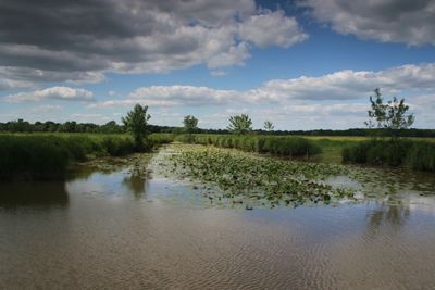
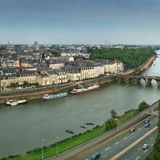
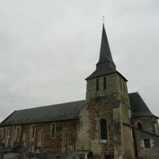
Basses vallées angevines, Alluvial plain near Angers, France

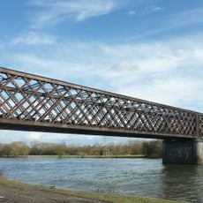
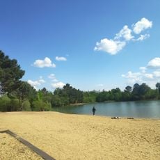
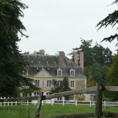
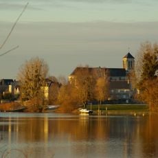
Basses Vallées Angevines is a 5,000-hectare alluvial plain where the Mayenne, Sarthe, and Loir rivers converge near Angers. The landscape consists of grasslands crossed by hedgerows and poplar groves that become flooded seasonally.

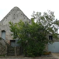
Farmers have managed this region using the same basic principles for centuries, accepting seasonal flooding and using the land for grazing. This continuity in land stewardship has shaped the plain as it appears today.

The area is managed by farmers who have adapted their practices to regular seasonal floods over many generations. This working landscape shapes how people experience the region, with grazing and seasonal land use defining the rhythm of daily life.

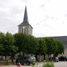
The area has over 100 kilometers of main hiking trails connected to local paths, offering many ways to explore the landscape. Visitors should be prepared for wet conditions and wear appropriate footwear, especially during transitional seasons.

During winter months, the grasslands transform into one of France's largest natural lakes, with only poplars and ash trees rising above the water. This seasonal phenomenon occurs almost every year and creates a completely different landscape for a few weeks.

The community of curious travelers

AroundUs brings together thousands of curated places, local tips, and hidden gems, enriched daily by 60,000 contributors worldwide.

Start exploring
Location
GPS coordinates
47.53660,-0.54660
Latest update
December 13, 2025 11:40
« Basses vallées angevines - Alluvial plain near Angers, France » is provided by Around Us (aroundus.com). Images and texts are derived from Wikimedia project under a Creative Commons license. You are allowed to copy, distribute, and modify copies of this page, under the conditions set by the license, as long as this note is clearly visible.

Discover hidden gems everywhere you go!

From secret cafés to breathtaking viewpoints, skip the crowded tourist spots and find places that match your style. Our app makes it easy with voice search, smart filtering, route optimization, and insider tips from travelers worldwide. Download now for the complete mobile experience.

Around Us App Screenshot

A unique approach to discovering new places

Le Figaro

All the places worth exploring

France Info

A tailor-made excursion in just a few clicks

20 Minutes

Around Us
Travel Guide & Maps
Download

Send to your phone

QR Code
1

Open the camera app on your mobile.

2

Point at the QR code with your camera. A notification will appear.

3

Tap the notification to open the link.