Ballon Saint-Antoine, Mountain summit in Plancher-les-Mines, France
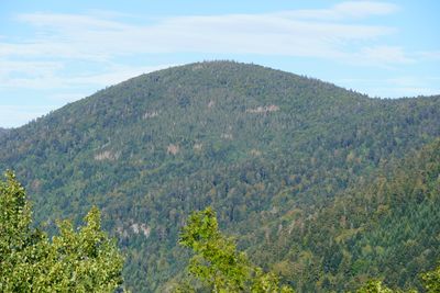
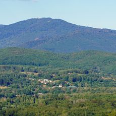
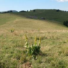
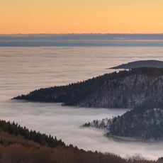
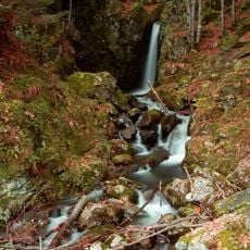
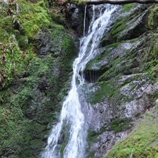
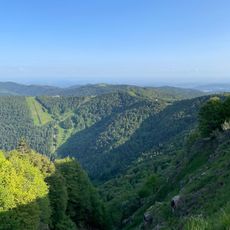
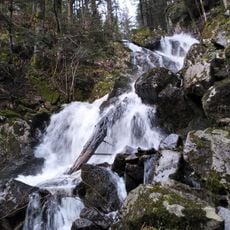
Ballon Saint-Antoine is a mountain summit in the Higher Vosges with an elevation around 1,100 meters, marked by distinctive sandstone outcrops and thick forests. The peak offers views across the surrounding region and connects to nearby settlements through well-marked paths.
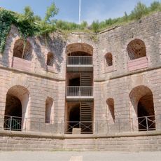
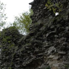
Originally called Froide Montagne in medieval times, the mountain served as a center for mining and metalworking from the 15th to 18th centuries. This industrial period shaped the economic development of the surrounding region.
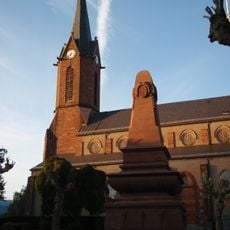
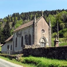
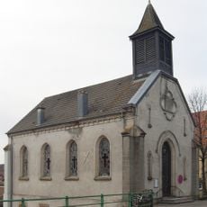
The mountain took its name from a hermit living here in the 9th century, creating a spiritual connection that remains part of local identity. You can see this religious heritage reflected in the names of surrounding villages and their traditions.
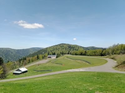
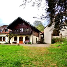
The summit connects to nearby towns through marked hiking trails from Lepuix and Plancher-les-Mines, with routes also linking to the neighboring Ballon d'Alsace. The paths are clearly marked and suitable for hikers at different experience levels.
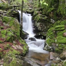
The mountain is part of the Ballons des Vosges Regional Nature Park and received Natura 2000 protection status in 1996 due to its biodiversity value. This designation makes it an important site for nature enthusiasts and researchers.
Location: Plancher-les-Mines
Location: Lepuix
Elevation above the sea: 1,128 m
Made from material: sandstone
GPS coordinates: 47.78395,6.78959
Latest update: December 14, 2025 18:41
Planche des Belles Filles
2.2 km
Cycling at Planche des Belles Filles
2.2 km
Lac d'Alfeld
7.3 km
Fort de Giromagny
6.2 km
Wissgrut
5.5 km
Réserve naturelle nationale des Ballons comtois
2.2 km
Château du Rosemont
6 km
Étang du Petit-Haut
4.1 km
Saut de la Truite
3.6 km
Cascade de Longeligoutte
8.1 km
Ballon d'Alsace
6 km
Église de la Nativité-de-Notre-Dame de Lepuix
3.5 km
Église Saint-Georges
7.4 km
Église Saint-Jean-Baptiste de Giromagny
5.4 km
Église Sainte-Catherine
5.5 km
Roche du Canton
2.4 km
Église Notre-Dame-Auxiliatrice
4.8 km
Equestrian statue of Joan of Arc
5.8 km
Cascade du Rummel
3.8 km
Église Saint-Nicolas de Plancher-les-Mines
4.3 km
Église Saint-Nicolas de Belfahy
4.4 km
Église Saint-Blaise de Miellin
4.8 km
Chapelle du prieuré Saint-Benoît de Chauveroche
2.7 km
Chapelle Saint-Blaise de Miellin
3.5 km
Chapelle Saint-Antoine de Plancher-les-Mines
2.2 km
Temple luthérien Saint-Luc de Giromagny
5.5 km
Monument commémoratif de la réunion de l'Alsace à la France en 1648
5.4 km
Cascade du Rummel
3.6 kmVisited this place? Tap the stars to rate it and share your experience / photos with the community! Try now! You can cancel it anytime.
Discover hidden gems everywhere you go!
From secret cafés to breathtaking viewpoints, skip the crowded tourist spots and find places that match your style. Our app makes it easy with voice search, smart filtering, route optimization, and insider tips from travelers worldwide. Download now for the complete mobile experience.
A unique approach to discovering new places❞
— Le Figaro
All the places worth exploring❞
— France Info
A tailor-made excursion in just a few clicks❞
— 20 Minutes