Chest opened
+${chestReward.xp} XP
Explorer
NOUVEAU ×${chestReward.collectible.quantity}
tapez pour fermer
Chest locked

Open chests in the app

Around Us is built for your phone — chests unlock when you walk, explore and capture nearby places.

Enable Location

We need your location to show you interesting places around you

Discover nearby places

Find interesting locations and hidden gems around you

Precise directions

Get accurate directions and distances to places

Your location is never shared with other users. It's only used when you tap the location button.

Log in to your account

Start exploring — it's free

Trusted by 72,937 travelers worldwide

Continue with Google
Continue with Apple
or

We will send you a code to connect

By continuing, you accept our Terms and Conditions and our Privacy Policy

Check your inbox

We've sent a pincode in your inbox. Please enter the code below.

Sommet Bucher
Discussion Reviews Photo
20+ Popularity

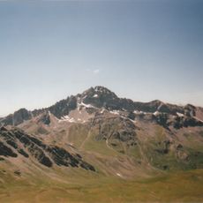
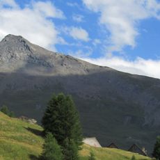
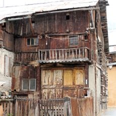
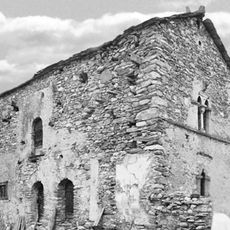
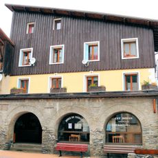
Sommet Bucher, Alpine summit in Hautes-Alpes, France

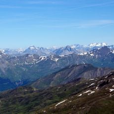
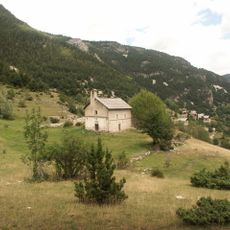
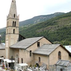
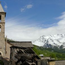
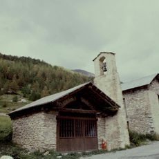
Sommet Bucher is an Alpine summit in the Hautes-Alpes region that rises to 2,215 meters and is equipped with a communication tower and a shepherd's cabin. The cabin features an orientation table that provides views and information about the surrounding peaks and landscape.

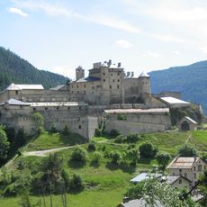
A mountain road to the summit was built in 1892 by troops under General Henri Baron Berge to provide military surveillance over the border region with Italy. This strategic construction was part of the border defense systems that crossed the French Alps during that era.

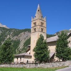
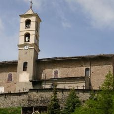
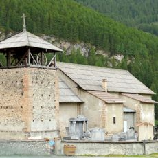
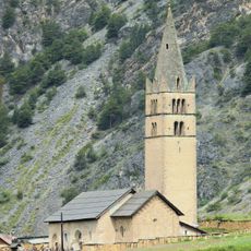
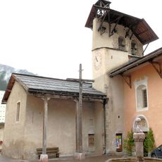
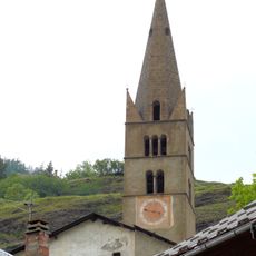
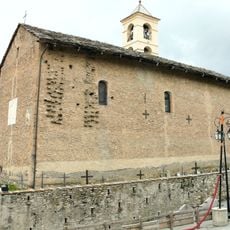
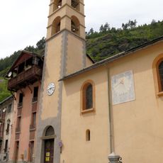
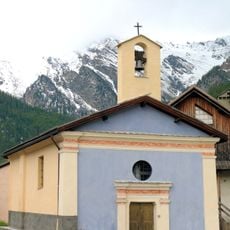
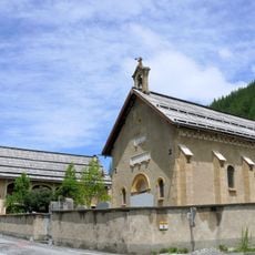
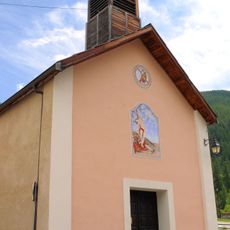
The summit connects to Saint Simon Chapel at 2,196 meters, where locals gather each August 6th for an annual pilgrimage tied to the mountain's spiritual significance. This religious tradition shapes how the community relates to the area and its broader religious landscape.

Three hiking routes lead to the summit: from Chateau-Queyras via a driveable road, from Ville-Vieille, or from La Chalp through Col des Prés de Fromage. Visitors should prepare for Alpine weather and terrain, bringing sturdy footwear and appropriate clothing for changing conditions.

The area around the summit was placed under protected status by ministerial decree in December 1939 to prevent commercial exploitation and environmental damage. This early conservation measure reflects an unusual concern for environmental preservation during that historical period.

The community of curious travelers

AroundUs brings together thousands of curated places, local tips, and hidden gems, enriched daily by 60,000 contributors worldwide.

Start exploring
GPS coordinates
44.73844,6.81408
Latest update
December 15, 2025 13:22
Reviews
Share your experience

No review yet

Discussions
Start a discussion...

No discussion yet

« Sommet Bucher - Alpine summit in Hautes-Alpes, France » is provided by Around Us (aroundus.com). Images and texts are derived from Wikimedia project under a Creative Commons license. You are allowed to copy, distribute, and modify copies of this page, under the conditions set by the license, as long as this note is clearly visible.

Discover hidden gems everywhere you go!

From secret cafés to breathtaking viewpoints, skip the crowded tourist spots and find places that match your style. Our app makes it easy with voice search, smart filtering, route optimization, and insider tips from travelers worldwide. Download now for the complete mobile experience.

Around Us App Screenshot

A unique approach to discovering new places

Le Figaro

All the places worth exploring

France Info

A tailor-made excursion in just a few clicks

20 Minutes

Around Us
Travel Guide & Maps
Download

Send to your phone

QR Code
1

Open the camera app on your mobile.

2

Point at the QR code with your camera. A notification will appear.

3

Tap the notification to open the link.