Pic de Rochebrune, Alpine summit at 3324 meters in Hautes-Alpes, France.
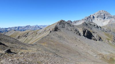
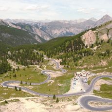
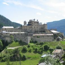
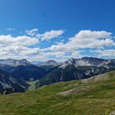
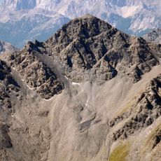
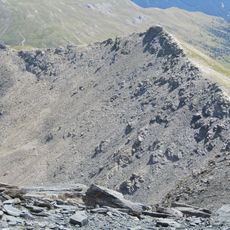
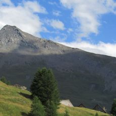
Pic de Rochebrune is a mountain summit in the Cottian Alps that rises to 3324 meters in Hautes-Alpes. The peak features steep rock walls and offers far-reaching views across the valleys of the Queyras region from its top.
This mountain formed millions of years ago through tectonic movements that shaped the Cottian Alps. Its geological structure reveals the slow processes that created the alpine landscape we see today.
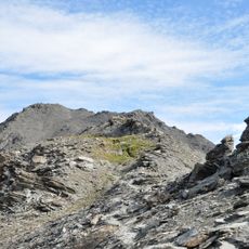
The name comes from Occitan: "Pica de Ròca Bruna", meaning dark or brown rock peak, after the bare gray and brown stone of the upper faces. The summit marks the northern edge of the Parc naturel régional du Queyras, created in 1977.
This climb demands mountaineering skills and specialized equipment due to steep and exposed terrain. Reaching the top requires good fitness and experience with alpine conditions.
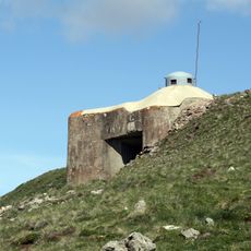
The summit carries two concrete antenna blocks, one on each of its two points; the true top is the right-hand, more northerly one. The name translates from Occitan as "dark rock peak" or "brown rock peak". The mountain lies on the northern border of the Queyras regional nature park, created in 1977.
The community of curious travelers
AroundUs brings together thousands of curated places, local tips, and hidden gems, enriched daily by 93,848 contributors worldwide.