Enable Location

We need your location to show you interesting places around you

Discover nearby places

Find interesting locations and hidden gems around you

Precise directions

Get accurate directions and distances to places

Your location is never shared with other users. It's only used when you tap the location button.

Cervières

Log in to your account

Start exploring — it's free

Trusted by 69,882 travelers worldwide

Continue with Google
Continue with Apple
or

We will send you a code to connect

By continuing, you accept our Terms and Conditions and our Privacy Policy

Check your inbox

We've sent a pincode in your inbox. Please enter the code below.

Discussion Reviews 1 Photos
10.3k Popularity

Cervières, Commune in the Hautes-Alpes, France

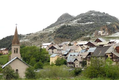
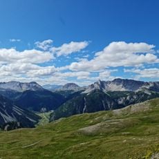
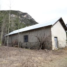
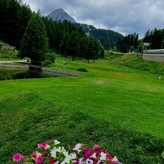
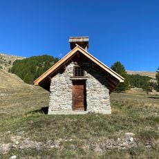
Cervières is a commune in the Hautes-Alpes department, in the arrondissement of Briançon, sitting at around 5,300 feet (1,620 m) in altitude between the Queyras and the Italian border. The village is made up of several small hamlets spread along the valley that leads up to the Col de l'Izoard.

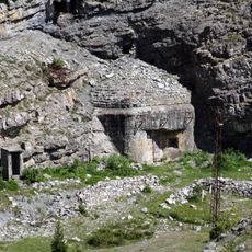
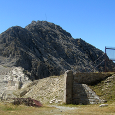
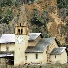
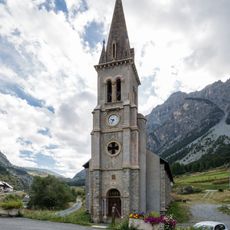
The village suffered serious damage in the summer of 1944, when fires and bombings led to the rebuilding of many houses and streets. That period of reconstruction shaped much of what the village looks like today and remains part of local memory.

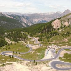
The Col de l'Izoard, just above the village, regularly appears in the Tour de France route, and locals follow the race with real attachment to that stretch of road. Cyclists come every summer to ride the same climb, and the pass has become a reference point for the community.

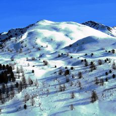
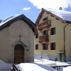
The village is easiest to reach by car, as public transport options in this mountain area are very limited. In winter, warm clothing and footwear suited to snowy terrain are essential, since the weather at this altitude can change quickly.

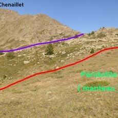
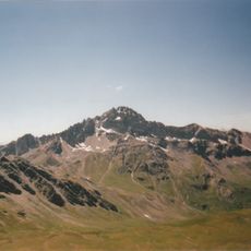
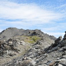
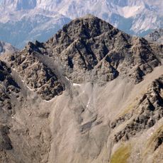
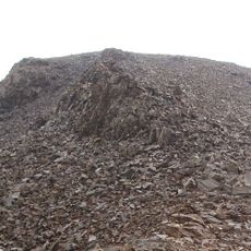
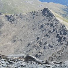
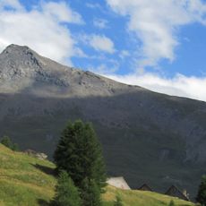
The Mont Chenaillet, near the village, is one of the rare places in the Alps where ancient ocean floor rock has been pushed up to the surface by mountain-forming forces. This makes it a point of interest for geologists who come specifically to study rock formations that are usually found only deep underwater.

The community of curious travelers

AroundUs brings together thousands of curated places, local tips, and hidden gems, enriched daily by 60,000 contributors worldwide.

Start exploring
Location
Elevation above the sea
2,346 m
Shares border with
Aiguilles, Arvieux, Briançon, Château-Ville-Vieille, Montgenèvre, Val-des-Prés, Villar-Saint-Pancrace, Cesana Torinese, Abriès-Ristolas
Address
1 rue de la Mairie, 05100 Cervières
Phone
GPS coordinates
44.86972,6.72194
Latest update
April 6, 2026 10:09
Reviews
Share your experience

No review yet

Discussions
Start a discussion...

No discussion yet

« Cervières - Commune in the Hautes-Alpes, France » is provided by Around Us (aroundus.com). Images and texts are derived from Wikimedia project under a Creative Commons license. You are allowed to copy, distribute, and modify copies of this page, under the conditions set by the license, as long as this note is clearly visible.

Discover hidden gems everywhere you go!

From secret cafés to breathtaking viewpoints, skip the crowded tourist spots and find places that match your style. Our app makes it easy with voice search, smart filtering, route optimization, and insider tips from travelers worldwide. Download now for the complete mobile experience.

Around Us App Screenshot

A unique approach to discovering new places

Le Figaro

All the places worth exploring

France Info

A tailor-made excursion in just a few clicks

20 Minutes

Around Us
Travel Guide & Maps
Download

Send to your phone

QR Code
1

Open the camera app on your mobile.

2

Point at the QR code with your camera. A notification will appear.

3

Tap the notification to open the link.