Montagne de Malrif, Mountain summit in Provence-Alpes-Côte d'Azur, France
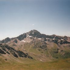
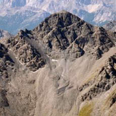
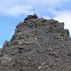
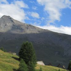
Montagne de Malrif is a summit reaching 2,906 m in the Monginevro Alps of the Cottian Alps, in the French department of Hautes-Alpes. It stands on the ridge between the Cerveyrette valley and the Guil valley, the Queyras. The Col du Malrif separates it from Punta Merciantaira, while the Col du Petit Malrif (2,830 m) links it westward with the Pic de Petit Rochebrune.
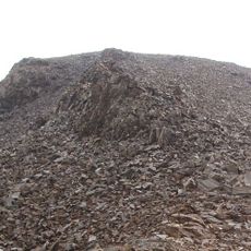
The mountain formed over millions of years through Alpine tectonic movements and glacial erosion that shaped its current structure. These geological processes created the rocky slopes and valleys visible today.
The mountain sits on the ridge between the Cerveyrette valley and the Guil valley, the Queyras. The Col du Malrif separates it from the Punta Merciantaira, and the Col du Petit Malrif (2,830 m) links it westward to the Pic de Petit Rochebrune. The summit is reached from Les Fonds, a hamlet of Cervières, and the Fonts de Cervières refuge at 2,040 m serves as a base.
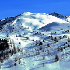
The usual route starts at Les Fonds, a hamlet of Cervières, and the summit can also be reached on skis, rated BS (fairly easy) for ski mountaineering. The Fonts de Cervières refuge at 2,040 m serves as a support point. The Col du Petit Malrif (2,830 m) separates the peak from the Pic de Petit Rochebrune.
The upper slopes host specialized plants that have adapted to extreme high-altitude conditions. These mountain plants reveal how life finds ways to thrive in harsh environments.
The community of curious travelers
AroundUs brings together thousands of curated places, local tips, and hidden gems, enriched daily by 92,893 contributors worldwide.