Punta Ramiere, Mountain summit at France-Italy border in Hautes-Alpes.
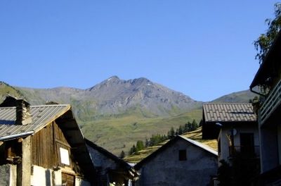
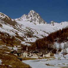
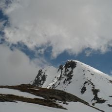
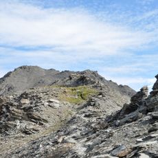
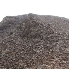
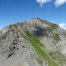
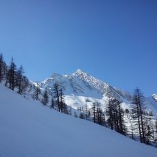
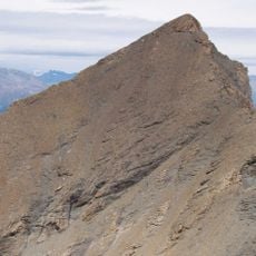
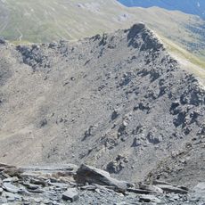
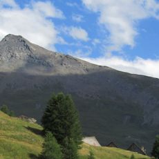
Punta Ramiere rises to 3303 meters and forms a natural border between France and Italy with steep rock faces and scree slopes on its southern side. The massif is defined by rocky formations that taper toward the summit plateau above.
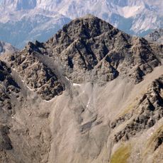
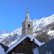
The mountain serves as a geographical marker between French and Italian Alpine territory, with its dual place names reflecting centuries of border definition in this region. Its role as a boundary line continues to shape how this massif is understood today.
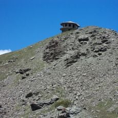
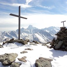
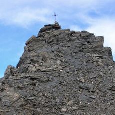
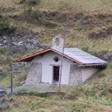
The summit has a French name, Bric Froid, and an Italian name, Punta Ramiere, reflecting the shared heritage of the border region. Visitors find a traditional mountain cross here and a guestbook where climbers from both sides record their ascents.
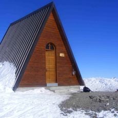
The climb begins from Abriès via road D441 to Le Roux at about 1800 meters, where the marked GR58 trail leads upward with cairn markers to the summit plateau. The ascent demands solid mountaineering skills and alpine experience.
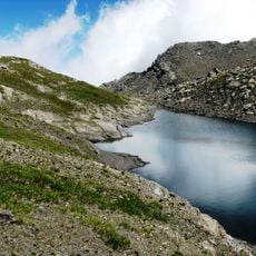
Despite its elevation above 3300 meters, the southern face remains free of snow for much of the year, allowing alpine routes during times when other regional peaks are still snow-covered. This makes the mountain a rewarding option for spring and autumn climbs.
The community of curious travelers
AroundUs brings together thousands of curated places, local tips, and hidden gems, enriched daily by 60,000 contributors worldwide.