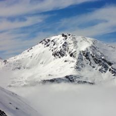
Bric Ghinivert, Alpine summit in Piedmont, Italy
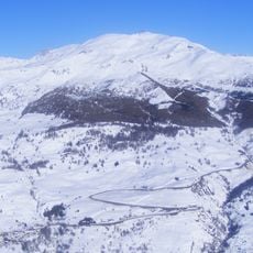
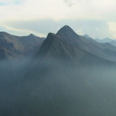
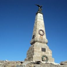
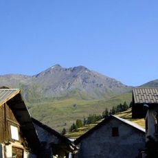
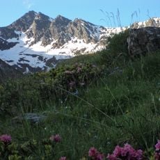
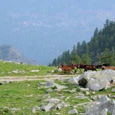
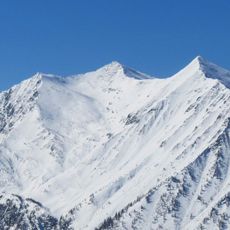
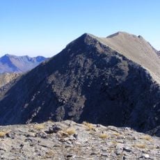
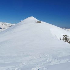
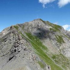
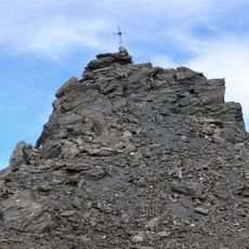
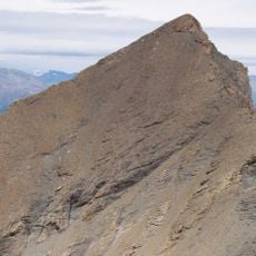
Bric Ghinivert is a 3,037 m mountain of the Cottian Alps on the water divide between Val Troncea to the west and Valle Germanasca to the east, on the border of the Pragelato and Massello municipalities. Its western face lies within the Parco naturale Val Troncea. A summit cross stands on the top, reached by scrambling routes from Val Troncea or Val Germanasca.
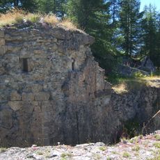
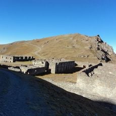
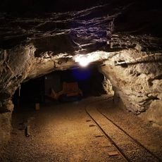
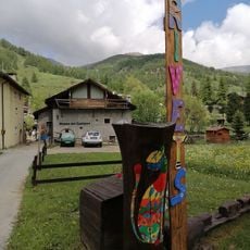
Copper mines and a miners' village stood around the mountain in earlier centuries; their remains can still be traced on the slopes. The Val Troncea nature park has set up explanatory boards on the site that outline its history. The mountain lies on the border between the municipalities of Pragelato and Massello.
The mountain's other name, Eiminàl, is still used locally alongside Bric Ghinivert. On the slopes around the summit, remains of ancient copper mines and the miners' village can still be made out, and explanatory boards installed by the Parco naturale Val Troncea describe the site's history.
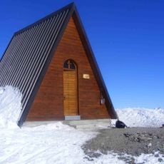
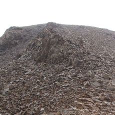
Routes to the 3,037 m summit start from Rifugio Troncea (1,915 m) in Val Troncea, via Colle del Beth (2,783 m), or from Balziglia in the Massello valley. The Italian hiking scale rates them EE, for expert hikers: no climbing gear needed, but the loose scree on the south-west slope demands care. A wooden bivouac stands at Colle del Beth, and a park-run hut there requires prior arrangement with the Val Troncea park staff.
On the mountain's slopes stand the remains of ancient copper mines and the miners' village that served them; explanatory boards installed by the Parco naturale Val Troncea outline the site's history. The summit cross at 3,037 m marks the highest point of the water divide between Val Troncea and Valle Germanasca.
The community of curious travelers
AroundUs brings together thousands of curated places, local tips, and hidden gems, enriched daily by 94,226 contributors worldwide.