Grand Queyron, Mountain peak in Cottian Alps, France and Italy
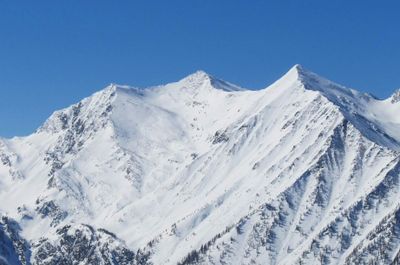
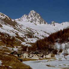
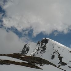
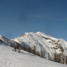
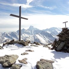
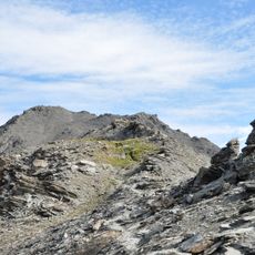
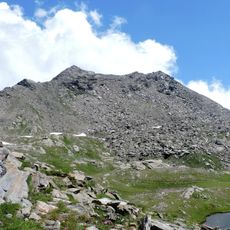
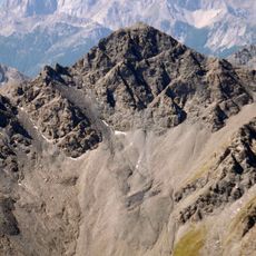
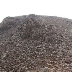
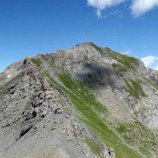
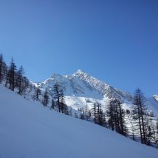
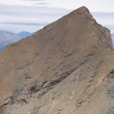
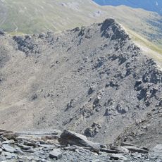
Grand Queyron is a mountain peak reaching about 3,060 meters (10,040 feet) in the Cottian Alps. It forms the border between France and Italy, with the surrounding terrain showing the dramatic steep slopes and rocky ridges typical of this alpine zone.
The peak was first documented as a climbing destination in the late 1800s when mountaineers began exploring the border ranges. This period marked its emergence as a recognized summit in alpine mountaineering history.
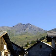
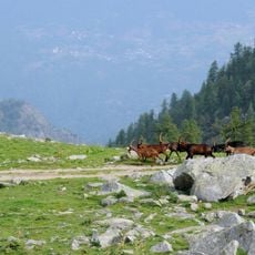
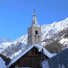
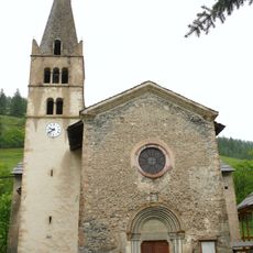
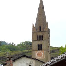
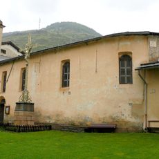
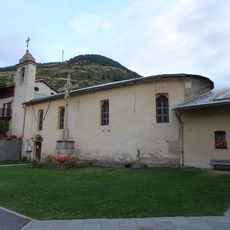
The villages of Prali and Abriès below reflect a mountain way of life shaped by the high terrain. People here have developed practices and skills suited to living along this border zone for centuries.
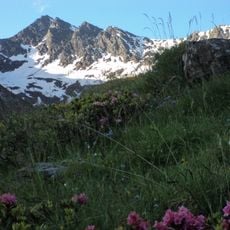
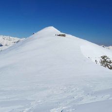
Reaching the summit requires mountain climbing experience and typically starts from nearby villages or from the Argentera valley. Visitors should prepare for steep terrain, variable weather, and the demands of high altitude hiking.
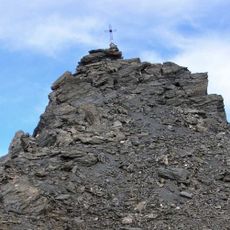
The summit is where three communes meet: two from Italy and one from France, making it a rare triple border point. This unusual geographic arrangement often surprises visitors who discover they stand at the intersection of three separate local administrative boundaries.
Location: Provence-Alpes-Côte d'Azur
Location: Piedmont
Elevation above the sea: 3,060 m
GPS coordinates: 44.84243,7.00126
Latest update: December 14, 2025 20:01
Agape Centro Ecumenico
6.9 km
Parco naturale Val Troncea
11 km
Punta Ramiere
6 km
Bric Bucie
2.9 km
Bric Ghinivert
12.2 km
Ecomuseo Miniere e Val Germanasca
10.5 km
Gran Truc
12.4 km
Tête de Pelvas
5.8 km
Punta Cornour
7.3 km
Monte Barifreddo
6.3 km
Grand Glaiza
9.5 km
Parco naturale di Conca Cialancia
9.6 km
Punta Cialancia
8.2 km
Pic de Petit Rochebrune
12.4 km
Rocca Bianca (Germanasca Valley)
9.9 km
Roc del Boucher
11.6 km
Monte Pignerol
8.5 km
Gran Guglia
2.4 km
Cima del Pelvo
9.5 km
Monte Platasse
10.1 km
Église Saint-Marcellin de Ristolas
8.4 km
Église Saint-Pierre-Saint-Paul-et-Saint-Antoine d'Abriès
7.9 km
Église Saint-Jean-Baptiste d'Aiguilles
12.4 km
Chapelle Sainte-Marie-Madeleine de la Montette
4.6 km
Chapelle des Pénitents d'Abriès
7.9 km
Montagne de Malrif
10.3 km
Ecomuseo Feltrificio Crumiere
12.8 km
Ensemble paroissial d'Abriès
7.9 kmVisited this place? Tap the stars to rate it and share your experience / photos with the community! Try now! You can cancel it anytime.
Discover hidden gems everywhere you go!
From secret cafés to breathtaking viewpoints, skip the crowded tourist spots and find places that match your style. Our app makes it easy with voice search, smart filtering, route optimization, and insider tips from travelers worldwide. Download now for the complete mobile experience.
A unique approach to discovering new places❞
— Le Figaro
All the places worth exploring❞
— France Info
A tailor-made excursion in just a few clicks❞
— 20 Minutes