Punta Cornour, Mountain summit in Metropolitan City of Turin, Italy
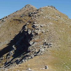
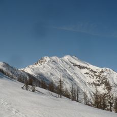
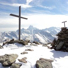
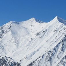
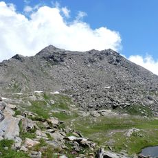
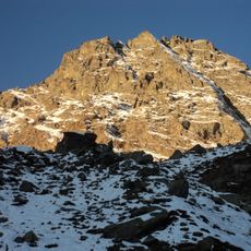
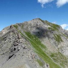
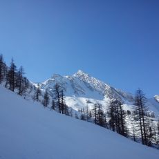
Punta Cornour is a 2,868 m peak on the water divide between the Germanasca and Pellice valleys, at the tripoint of Prali, Bobbio Pellice and Villar Pellice. Its main ridge runs SW to NE, with a secondary ridge branching south. The southeast face in Villar Pellice is steep rock, while the other sides are block-strewn detrital slopes. It is made of gneiss and mica-schists of the Dora-Maira massif.
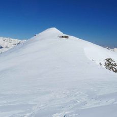
The mountain appears as Punta Cournour in older sources, including the 1911 edition of the Encyclopædia Britannica, while most modern maps use Punta Cornour. Its summit carries the primary IGM trigpoint 067905 Punta Cornour, a small triangular iron pillar marking the tripoint of Prali, Bobbio Pellice and Villar Pellice.
The name appears both as Punta Cornour on most maps and as Punta Cournour in older sources, including the 1911 Encyclopædia Britannica. The summit is the tripoint of Prali, Bobbio Pellice and Villar Pellice, and the normal route starts at Ghigo di Prali by the Seggiovia dei 13 Laghi station.
Visitors need mountaineering equipment, climbing experience, and should check weather conditions before attempting the summit. The warmest months provide the best climbing window when snow cover is minimal and conditions remain more stable.
The summit is the tripoint of three municipalities: Prali in Val Germanasca, and Bobbio Pellice and Villar Pellice in Val Pellice. A small triangular iron pillar marks the IGM trigpoint 067905 Punta Cornour. The mountain also appears as Punta Cournour in older sources, such as the 1911 Encyclopædia Britannica.
The community of curious travelers
AroundUs brings together thousands of curated places, local tips, and hidden gems, enriched daily by 92,817 contributors worldwide.