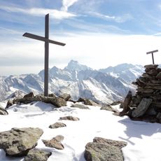
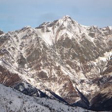
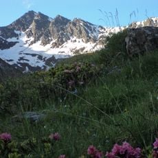
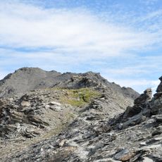
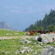
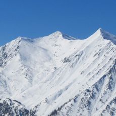
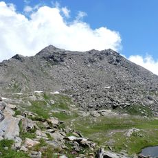
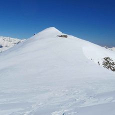
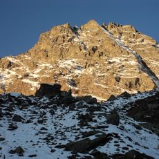
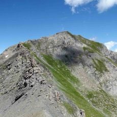
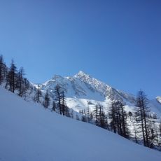
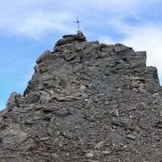
Bric Bucie, Mountain summit in Cottian Alps, France and Italy.
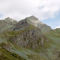
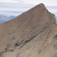
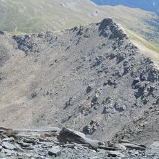
Bric Bucie is a 2,997 m summit on the main Alpine watershed between Italy and France, rising between the Germanasca and Pellice valleys in the province of Turin and the Guil valley in the Queyras, commune of Abriès. At the top the ridge turns sharply from north-south to west toward Grand Queyron. The mountain is made of locally carbonaceous calcschists of Triassic-Jurassic age resting on prasinite and amphibolite of Gastaldi's green stones.
Bric Bucie took shape millions of years ago when tectonic movements created the Cottian Alps. The peak has served as a natural dividing line between the regions that became modern France and Italy.
The name Bucie also appears as Bouchie and Bouchet on maps and in older texts. On the Italian side, walkers pass the rifugio Lago Verde and the bivacco Soardi, the latter kept open all year and staffed by CAI volunteers in summer. The summit marks where the main Alpine watershed turns sharply from north-south to west.
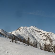
Trails climb from both the French and Italian sides, with most routes taking several hours and requiring mountain gear and experience. Visit during warmer months when snow lines are higher and the approach is more straightforward.
The summit marks a sharp bend in the main Alpine watershed: the ridge runs roughly north-south below the peak, turns west at the top, then swings north again toward the Grand Queyron. The mountain is built of Triassic-Jurassic calcescisti, locally carbonaceous, resting on effusive volcanic rocks (prasinite and amphibolite) of Gastaldi's greenstones, which crop out in places.
The community of curious travelers
AroundUs brings together thousands of curated places, local tips, and hidden gems, enriched daily by 94,048 contributors worldwide.