Parco naturale Val Troncea, Regional park in Province of Turin, Italy
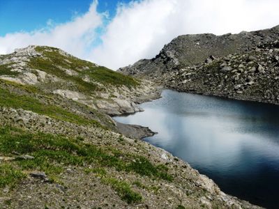
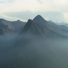
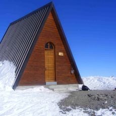
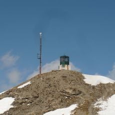
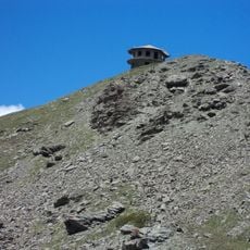
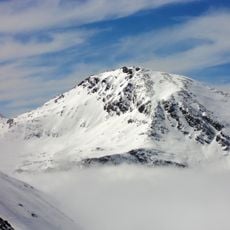
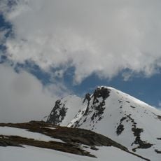
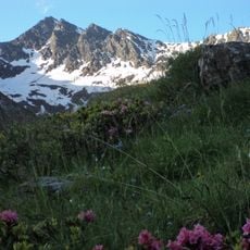
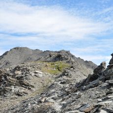
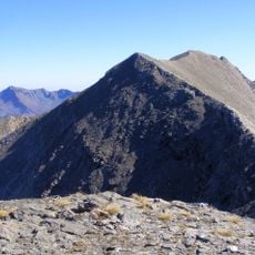
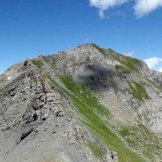
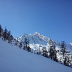
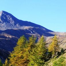
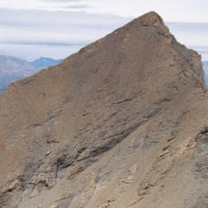
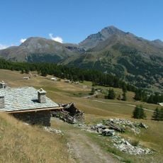
Parco naturale Val Troncea is a protected mountain region in the Western Alps that spans thousands of hectares across varying elevations from around 1,600 meters to over 3,200 meters. The landscape features steep slopes, alpine pastures, mountain streams, and rocky peaks, with marked trails connecting different areas and elevation zones.
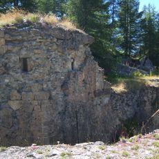
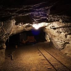
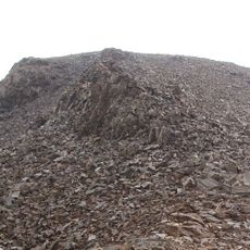
The region was shaped by copper mining operations that continued into the 20th century, driving the economy of mountain communities here. Mining activities came to an abrupt end in 1904 when a major avalanche buried the work site and made further extraction impossible.
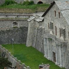
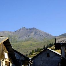
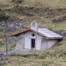
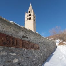
Traditional mountain hamlets scattered throughout the park display characteristic Alpine building styles that shaped how communities adapted to high-altitude living. These settlements show how villages developed over time in response to the challenging mountain environment and its seasonal rhythms.
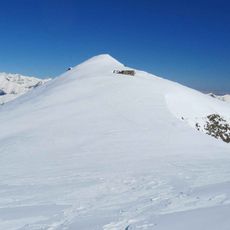
The best time for hiking is from late spring through early autumn when higher trails are snow-free and fully accessible. Visitors should bring sturdy footwear, plenty of water, and weather-appropriate clothing since mountain conditions can change rapidly throughout the day.
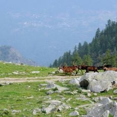
During summer months, herders at Alpe Mei produce mountain cheese using traditional methods and sell it directly to visitors. This small-scale production keeps alive ancient dairy practices that have been part of Alpine life for centuries.
The community of curious travelers
AroundUs brings together thousands of curated places, local tips, and hidden gems, enriched daily by 60,000 contributors worldwide.