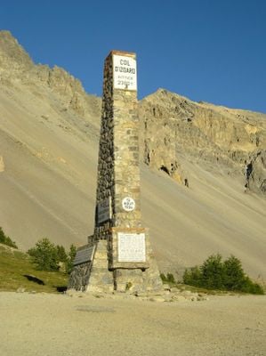
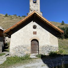
Col d'Izoard, Mountain pass near Briançon, France
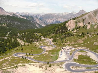
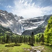
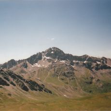
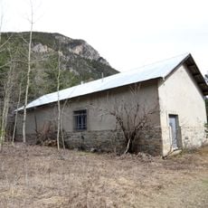
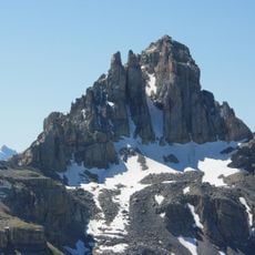
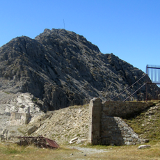
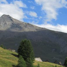
The Col d'Izoard is a mountain pass in the French Alps that connects the communes of Arvieux and Cervières at an elevation of 2,361 meters. The road winds through changing terrain, moving from forested slopes to dramatic rocky sections as it climbs toward the summit.
The pass entered the Tour de France route in 1922 and became a defining challenge in the race's Alpine stages. This regular appearance on the cycling calendar transformed it into a landmark of modern sporting history.
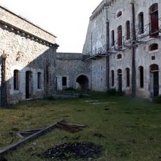
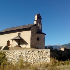
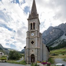
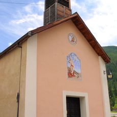
The pass holds deep significance in cycling culture, with the sport woven into every part of the visitor experience at the summit. The mountain has become a place where riders and fans gather to honor legendary performances and celebrate a shared passion for the sport.
The pass is accessible during warmer months via the D902 road from either side. Weather can change quickly at this elevation, so dressing in layers and bringing water and snacks is sensible for any visit.
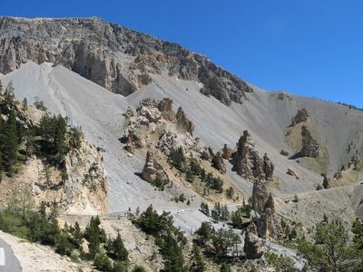
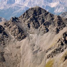
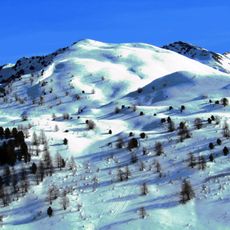
The southern slope features the Casse Déserte, a barren section with exposed scree and weathered stone that looks moonlike compared to the forested slopes on the other side. This stark landscape creates a memorable transition during the climb.
Location: Arvieux
Location: Cervières
Elevation above the sea: 2,361 m
Part of: Route des Grandes Alpes
Address: 05350 Arvieux, France
GPS coordinates: 44.82003,6.73504
Latest update: December 6, 2025 16:01
France offers motorcyclists a diverse landscape, from Alpine peaks to Mediterranean coasts, including wine regions. The country is suitable for all riding styles, with demanding mountain roads, winding coastal routes, and rural paths. Key routes include the Col de la Bonette, reaching 2802 meters...
Fort Queyras
8.4 km
Mont Chenaillet
9.2 km
Pic de Rochebrune
4.2 km
Fort de l'Infernet
9.1 kmSommet des Anges
8.4 km
Ouvrage Gondran
8.6 km
Ouvrage Les Aittes
6.3 km
Fort de la Croix-de-Bretagne
8.7 kmMonte Gimont
9.6 km
Téléphérique de Terre Rouge
7.5 kmCima Saurel
9.7 km
Pic de Petit Rochebrune
8.8 km
Pic du Béal Traversier
7.9 km
Cima Fournier
9.5 kmÉglise Saint-Laurent d'Arvieux
6 km
Sommet de Château Jouan
10.2 km
Église Saint-Michel de Cervières
5.8 km
Église Saint-André de Ville-Vieille
9.6 km
Pic Lombard
8.2 km
Chapelle Saint-Pancrace de Villar-Saint-Pancrace
9.9 km
Église Saint-Michel-et-Saint-Mammès de Cervières
5.5 km
Chapelle Saint-Claude de Prafauchier
6.6 km
Église Sainte-Marie-Salomé de Château-Queyras
8.4 km
Chapelle Saint-Gervais-et-Saint-Protais du Blétonnet
3.2 km
Protestant church of Arvieux
6 km
Chapelle Saint-Pierre du Bourget
6.8 km
Chapelle Notre-Dame-des-Neiges des Fonts
7 km
Chapelle des Pénitents de Ville-Vieille
9.6 kmVisited this place? Tap the stars to rate it and share your experience / photos with the community! Try now! You can cancel it anytime.
Discover hidden gems everywhere you go!
From secret cafés to breathtaking viewpoints, skip the crowded tourist spots and find places that match your style. Our app makes it easy with voice search, smart filtering, route optimization, and insider tips from travelers worldwide. Download now for the complete mobile experience.
A unique approach to discovering new places❞
— Le Figaro
All the places worth exploring❞
— France Info
A tailor-made excursion in just a few clicks❞
— 20 Minutes