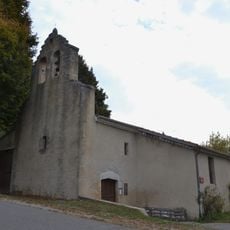
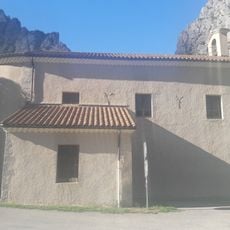
Roc de Beauvent, Mountain summit in Auvergne-Rhône-Alpes, France.
Roc de Beauvent is a rocky summit in the French pre-Alps with vertical limestone walls and several established climbing routes. The via ferrata paths traverse the rock face and offer varying degrees of technical difficulty to suit different skill levels.
The summit was first marked as a geographical reference point during the creation of regional mapping systems in the 19th century. Over the following decades, it became popular with mountaineers who developed and expanded the via ferrata routes.
The rock face serves as a gathering place for climbers from the surrounding region who come to test their skills and connect with others. These routes have become a focal point for technical mountaineering enthusiasts who maintain and pass down climbing traditions.
Visitors should bring climbing gear like helmets and harnesses, as the routes require technical knowledge and proper safety equipment. The paths vary in length depending on the route chosen, so it is worth checking the difficulty level and time needed beforehand.
One of the most interesting features is a tunnel section on the route that requires headlamps to navigate through. This underground passage experience at high altitude sets the location apart from typical climbing destinations.
Location: France
Elevation above the sea: 1,379 m
GPS coordinates: 44.52000,5.64580
Latest update: December 15, 2025 13:26
Monastère de la Dormition-de-la-Mère-de-Dieu à La Faurie
9.8 km
Provencal Baronnies Observatory
16.2 km
Écomusée du cheminot Veynois
14.2 km
Cadran solaire du col de Cabre
4.4 km
Église de l'Assomption de La Bâtie-Montsaléon
11 km
Le Marais des Bouligons
11.6 km
Église Saint-Arey de Serres
11.5 km
Église Saint-Barthélemy de Chabestan
11.9 km
Église Saints-Pierre-et-Paul de Saint-Pierre-d'Argençon
4.2 km
Église Saint-Pierre-aux-Liens-et-Notre-Dame d'Aspremont
7.3 km
Église d'Oze
12.8 km
Église saint Jacques-saint Philippe de Savournon
15.9 km
Église Saint-Laurent de Sigottier
8.2 km
Église Saint-Pierre-aux-Clefs de Ribeyret
13.9 km
Église Saint-Géraud d'Aspres-sur-Buëch
8.3 km
Église Saint-Vincent du Saix
15 km
Église de Saint-Auban-d'Oze
16.2 km
Église Saint-Laurent de Miscon
15.4 km
Église de Méreuil
16.3 km
Église de Montmorin
11.1 km
Église Saint-Blaise de Saint-Julien-en-Beauchêne
11.9 km
Église du Plan du Bourg Villelongue
14.9 km
Zonnewijzer
11.4 km
Sources de la Drôme
935 m
Chapelle Notre-Dame-de-Pitié-et-Saint-André de Veynes
13.6 km
Maison de Lesdiguières
11.6 km
Town hall of Serres
11.6 km
Temple de Beaurières
8.9 kmVisited this place? Tap the stars to rate it and share your experience / photos with the community! Try now! You can cancel it anytime.
Discover hidden gems everywhere you go!
From secret cafés to breathtaking viewpoints, skip the crowded tourist spots and find places that match your style. Our app makes it easy with voice search, smart filtering, route optimization, and insider tips from travelers worldwide. Download now for the complete mobile experience.
A unique approach to discovering new places❞
— Le Figaro
All the places worth exploring❞
— France Info
A tailor-made excursion in just a few clicks❞
— 20 Minutes