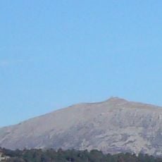
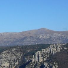
Le Montdenier, Mountain summit in Provence-Alpes-Côte d'Azur, France
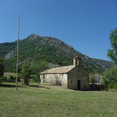
Le Montdenier is a mountain summit reaching 1726 meters with multiple hiking trails crossing through pine forests and rocky ridges in the Verdon region. The routes wind through dense forest areas with views of the surrounding landscape and connect small settlements in this mountainous area.
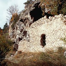
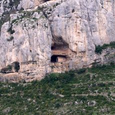
Shepherds created the first paths across Montdenier over centuries during seasonal livestock migrations between valleys and mountain pastures. These historic routes evolved into the hiking trails visitors use today.
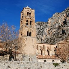
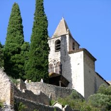
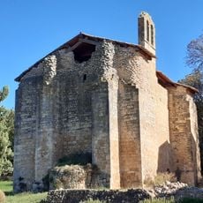
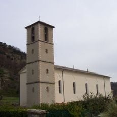
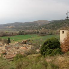
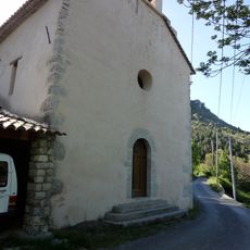
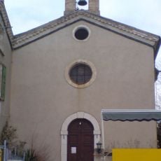
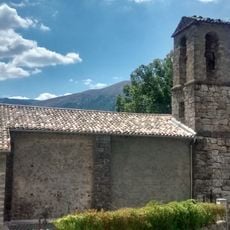
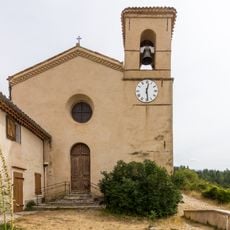
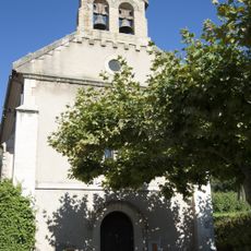
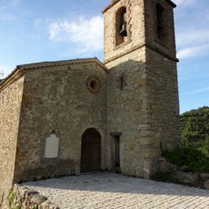
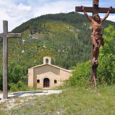
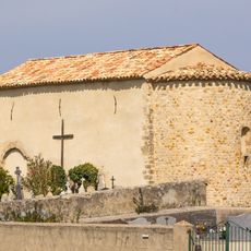
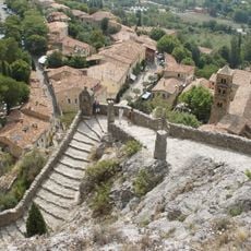
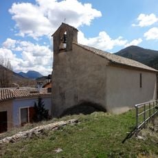
The trails connect several small villages like Vénascle and Saint-Jurs, where locals continue to live and work in the mountain landscape. Visitors encounter communities that have adapted their way of life to the mountain environment over many generations.
Hikers should bring plenty of water and start in early morning hours to benefit from shade on the longer routes. The mountain is accessible year-round, but conditions vary depending on the season.
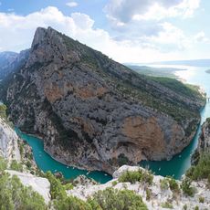
From the summit visitors can see both the Verdon Canyon and Lake Sainte-Croix, offering a complete view of the landscape. On clear days the views extend far beyond the immediate area.
GPS coordinates: 43.89788,6.25498
Latest update: December 15, 2025 13:22
Verdon Regional Natural Park
8.4 km
Pont d'Aiguines
11.2 km
Mont Chiran
6 km
Église Notre-Dame-de-l'Assomption de Moustiers-Sainte-Marie
6.2 km
Mourre de Chanier
9.9 km
Chapelle Notre-Dame de Beauvoir
6 km
Grottes de Saint-Maurin
11.1 km
Chapelle Notre-Dame de la Baume
10.8 km
Chapelle Saint-Apollinaire de Puimoisson
8.8 km
Église Notre-Dame d'Estoublon
9.2 kmÉglise Saint-Michel de Puimoisson
11 km
Horloge publique d'Estoublon
8.3 km
Église Notre-Dame-de-la-Roche de Majastres
3.3 km
Église Notre-Dame de La Bégude
10 km
Église Saint-Symphorien
9.9 km
Église Saint-Georges de Saint-Jurs
4.4 km
Église Saint-Nicolas-de-Myre de Bras-d'Asse
10.9 km
Église Saints-Pierre-et-Martin de Beynes
10.6 km
Chapelle Saint-André d'Estoublon
5.4 km
Église Saint-Laurent du Poil
5 km
Henrious Bridge
9.6 km
Chapelle Saint-Jean de Barrême
10.9 km
Chapelle Saint-Jean-Baptiste de Bras-d'Asse
10.4 km
Chapelle Saint-Georges de Saint-Jurs
4.6 km
Chapelle Sainte-Élisabeth-du-Portugal de La Melle
7.4 km
Cippe en pierre
6.2 km
Chapelle Notre-Dame-de-Miséricorde de Barrême
10.8 km
Preynes Bridge
5.8 kmVisited this place? Tap the stars to rate it and share your experience / photos with the community! Try now! You can cancel it anytime.
Discover hidden gems everywhere you go!
From secret cafés to breathtaking viewpoints, skip the crowded tourist spots and find places that match your style. Our app makes it easy with voice search, smart filtering, route optimization, and insider tips from travelers worldwide. Download now for the complete mobile experience.
A unique approach to discovering new places❞
— Le Figaro
All the places worth exploring❞
— France Info
A tailor-made excursion in just a few clicks❞
— 20 Minutes