Enable Location

We need your location to show you interesting places around you

Discover nearby places

Find interesting locations and hidden gems around you

Precise directions

Get accurate directions and distances to places

Your location is never shared with other users. It's only used when you tap the location button.

Mweelrea

Log in to your account

Start exploring — it's free

Trusted by 62,836 travelers worldwide

Continue with Google
Continue with Apple
or

We will send you a code to connect

By continuing, you accept our Terms and Conditions and our Privacy Policy

Check your inbox

We've sent a pincode in your inbox. Please enter the code below.

Mweelrea

Mweelrea, Mountain summit at Connacht region, Ireland

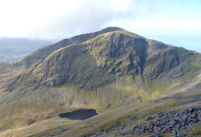
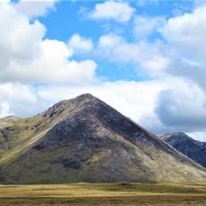
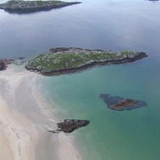
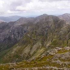
Mweelrea is a mountain summit in the Connacht region of western Ireland, reaching 814 meters above sea level with steep slopes on multiple sides. Views from the top take in Killary Harbour and Doolough Pass, with broad valleys stretching below.

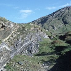
The mountain took its current form during the Ordovician period hundreds of millions of years ago, shaped by sandstone deposits and ancient river sediments. These geological processes carved out the landscape visitors see today.

The Irish name means 'bald hill with the smooth top', a description locals still use today when talking about this mountain.

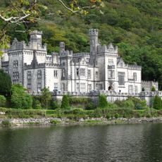
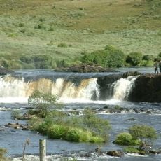
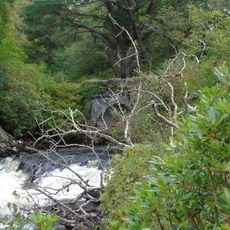
Climbs usually start from the Delphi Adventure Centre, with trails following the Owenaglough River through forested sections and then open grassland. Visitors should be prepared for changing weather conditions typical of Irish mountains.

Two natural lakes sit in mountain hollows on the peak area: Lough Lugaloughan and Lough Bellawaum, carved by ancient glaciers. These lakes create striking features that catch the eye from many angles.

The community of curious travelers

AroundUs brings together thousands of curated places, local tips, and hidden gems, enriched daily by 60,000 contributors worldwide.

Start exploring
GPS coordinates
53.63723,-9.83031
Latest update
December 7, 2025 20:46
« Mweelrea - Mountain summit at Connacht region, Ireland » is provided by Around Us (aroundus.com). Images and texts are derived from Wikimedia project under a Creative Commons license. You are allowed to copy, distribute, and modify copies of this page, under the conditions set by the license, as long as this note is clearly visible.

Discover hidden gems everywhere you go!

From secret cafés to breathtaking viewpoints, skip the crowded tourist spots and find places that match your style. Our app makes it easy with voice search, smart filtering, route optimization, and insider tips from travelers worldwide. Download now for the complete mobile experience.

Around Us App Screenshot

A unique approach to discovering new places

Le Figaro

All the places worth exploring

France Info

A tailor-made excursion in just a few clicks

20 Minutes

Around Us
Travel Guide & Maps
Download

Send to your phone

QR Code
1

Open the camera app on your mobile.

2

Point at the QR code with your camera. A notification will appear.

3

Tap the notification to open the link.