
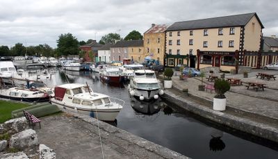
Cloondara, village in Leinster, Ireland
Location: County Longford
Elevation above the sea: 66 m
GPS coordinates: 53.73322,-7.90834
Latest update: March 5, 2025 18:31
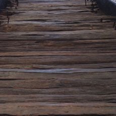
Corlea Trackway
12.4 km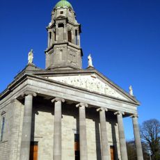
St. Mel's Cathedral, Longford
7.4 km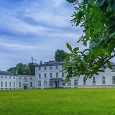
National Famine Museum
13.4 km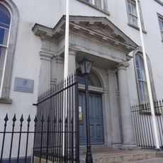
Longford Courthouse
7 km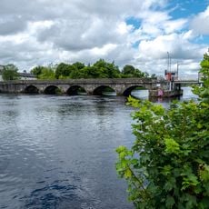
Roosky Bridge
11.1 km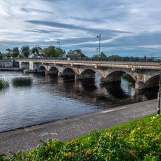
Lanesborough Bridge
8.6 km
Begnagh Bridge
2.7 km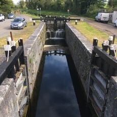
Aghnaskea Bridge
6.1 km
Savage Bridge
5.5 km
Knockanboy Bridge
6.5 km
Ballydrum Bridge
4.7 km
Cloonturk Bridge
6.8 km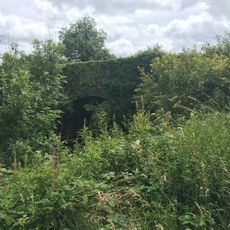
Aghantrah Bridge
6.9 km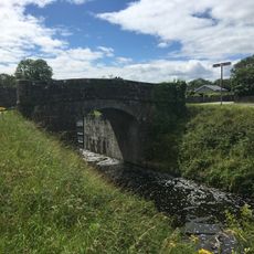
Coolnahinch Bridge
12.3 km
Newtown Bridge
6.9 km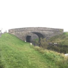
Lyneen Bridge
9.1 km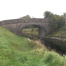
Ards Bridge
10.4 km
Richmond Bridge
294 m
Cloonsheerin Bridge
7.3 km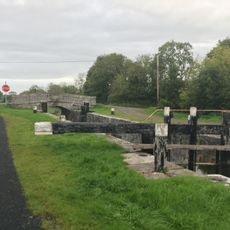
Lock 44
5.6 km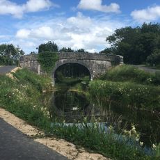
Farranyoogan Bridge
6.9 km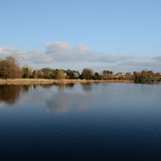
Termonbarry Weir
931 m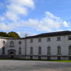
Strokestown Park House Stables
13.4 km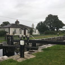
Lock 42
10 km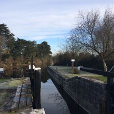
Lock 46
245 m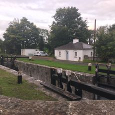
Lock 43
6.1 km
Lock 41
12.3 km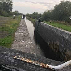
Lock 45
983 mVisited this place? Tap the stars to rate it and share your experience / photos with the community! Try now! You can cancel it anytime.
Discover hidden gems everywhere you go!
From secret cafés to breathtaking viewpoints, skip the crowded tourist spots and find places that match your style. Our app makes it easy with voice search, smart filtering, route optimization, and insider tips from travelers worldwide. Download now for the complete mobile experience.

A unique approach to discovering new places❞
— Le Figaro
All the places worth exploring❞
— France Info
A tailor-made excursion in just a few clicks❞
— 20 Minutes