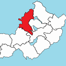
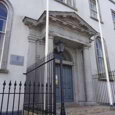
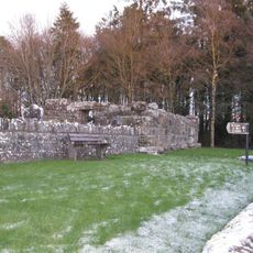
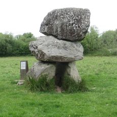
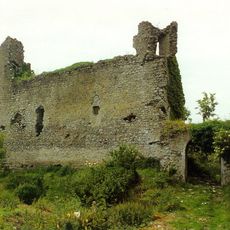
County Longford, Administrative division in Leinster, Ireland
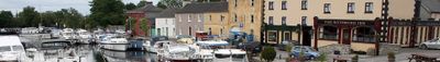
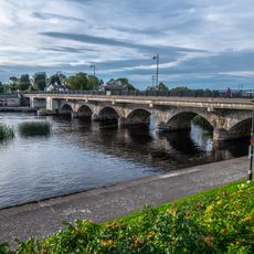
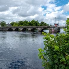
County Longford is an administrative division in central Leinster, characterized by farmland, small villages, and waterways running through its landscape. The River Shannon marks the western boundary, flowing past meadows and green fields that cover most of the terrain.
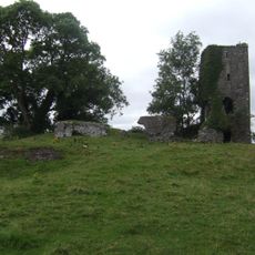
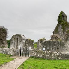
The O'Farrell clan held power over this territory for centuries before English forces took control in the 13th century. The clan regained some leadership in the 15th century, though English influence remained strong in the region.
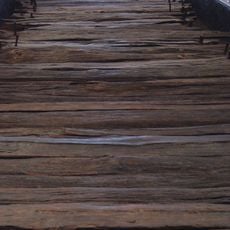
The Corlea Trackway Visitor Centre displays an ancient oak road that shows how people engineered pathways through wetlands thousands of years ago. Walking through the museum helps visitors understand the practical skills and knowledge of Iron Age communities in this region.
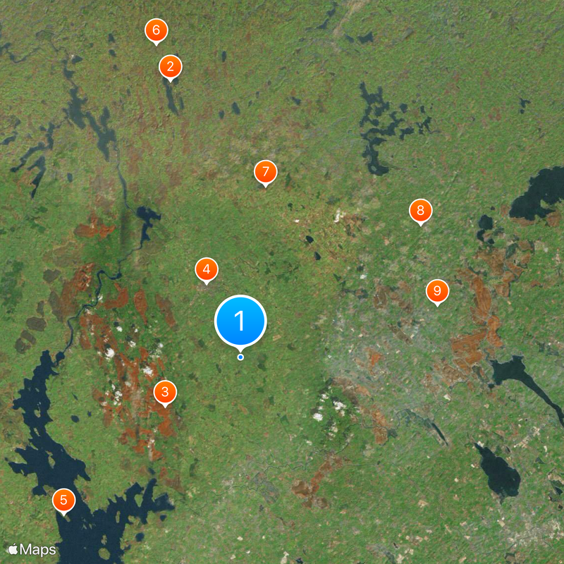
The N4 and N5 roads connect the county to Dublin, Mayo, and Roscommon from Longford town, making it easy to reach other regions. Regular train services run to major cities, offering another transport option for visitors.
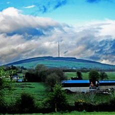
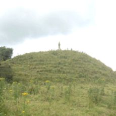
Carn Clainne Aodha stands as the highest point in this mostly flat landscape, offering views across the surrounding countryside from its summit. It attracts walkers who want to see the fields and villages from an elevated vantage point.
The community of curious travelers
AroundUs brings together thousands of curated places, local tips, and hidden gems, enriched daily by 60,000 contributors worldwide.