Enable Location

We need your location to show you interesting places around you

Discover nearby places

Find interesting locations and hidden gems around you

Precise directions

Get accurate directions and distances to places

Your location is never shared with other users. It's only used when you tap the location button.

Ballintober South

Log in to your account

Start exploring — it's free

Trusted by 62,863 travelers worldwide

Continue with Google
Continue with Apple
or

We will send you a code to connect

By continuing, you accept our Terms and Conditions and our Privacy Policy

Check your inbox

We've sent a pincode in your inbox. Please enter the code below.

Ballintober South

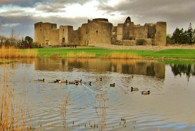
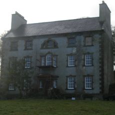
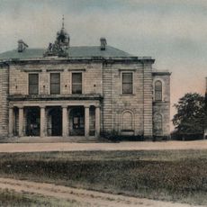
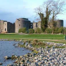
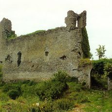
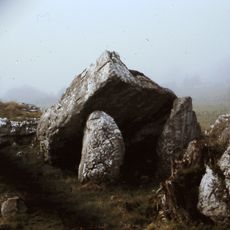
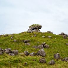
Ballintober South, Medieval townland in County Roscommon, Ireland.

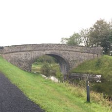
Ballintober South is a medieval landregion in central County Roscommon, located northwest of Lough Ree. The area comprises several parishes and more than a hundred distinct townlands spread across the landscape.

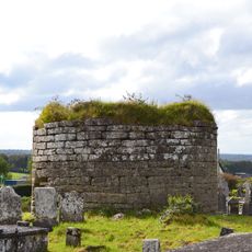
The region was originally controlled by the Ó Manacháin clan, who ruled it as part of Ui Briuin na Sionna. In the 13th century, the O'Beirnes took control and shaped the subsequent development of the area.

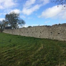
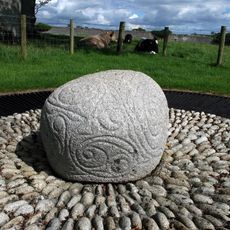
The place names across this region carry Irish roots and reflect how land was traditionally divided using Gaelic principles. Walking through, you notice how these names tell the story of Irish settlement patterns.

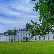
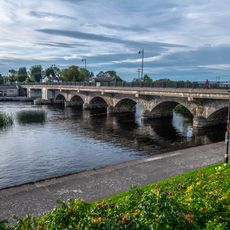
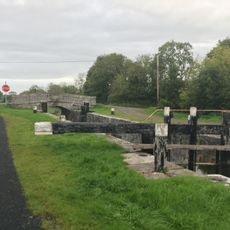
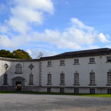
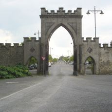
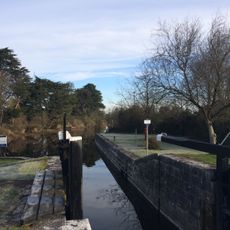
This region is best explored by moving through the countryside, where the scattered townlands spread across a large area. Walking or driving allows you to experience the varied landscape and discover individual settlements at your own pace.

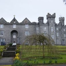
Despite its name, this region does not include the actual town of Ballintober but is instead a separate administrative and territorial unit. Many visitors are surprised to learn that the name and the settlement are two different things entirely.

The community of curious travelers

AroundUs brings together thousands of curated places, local tips, and hidden gems, enriched daily by 60,000 contributors worldwide.

Start exploring
Location
GPS coordinates
53.66143,-8.12396
Latest update
December 14, 2025 18:04
« Ballintober South - Medieval townland in County Roscommon, Ireland » is provided by Around Us (aroundus.com). Images and texts are derived from Wikimedia project under a Creative Commons license. You are allowed to copy, distribute, and modify copies of this page, under the conditions set by the license, as long as this note is clearly visible.

Discover hidden gems everywhere you go!

From secret cafés to breathtaking viewpoints, skip the crowded tourist spots and find places that match your style. Our app makes it easy with voice search, smart filtering, route optimization, and insider tips from travelers worldwide. Download now for the complete mobile experience.

Around Us App Screenshot

A unique approach to discovering new places

Le Figaro

All the places worth exploring

France Info

A tailor-made excursion in just a few clicks

20 Minutes

Around Us
Travel Guide & Maps
Download

Send to your phone

QR Code
1

Open the camera app on your mobile.

2

Point at the QR code with your camera. A notification will appear.

3

Tap the notification to open the link.