Raheny, civil parish in County Dublin, Ireland
Location: County Dublin
Location: Coolock
GPS coordinates: 53.37823,-6.15447
Latest update: March 3, 2025 18:16
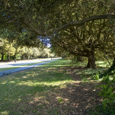
Saint Anne's Park
1.9 km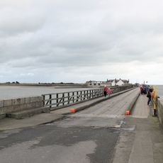
Bull Wall
3 km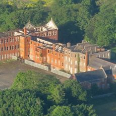
Belcamp House
3.9 km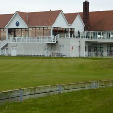
The Royal Dublin Golf Club
2.6 km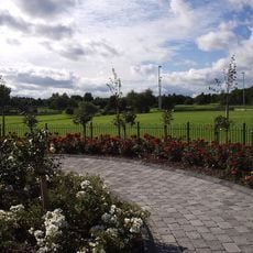
Stardust Memorial Park
3.9 km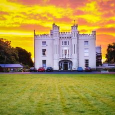
Manresa House, Dublin
2 km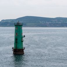
North Bull Lighthouse
3.7 km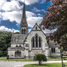
All Saints' Church, Raheny
1.7 km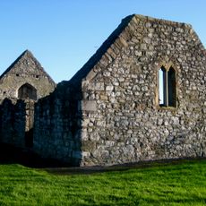
Grange Abbey
2.4 km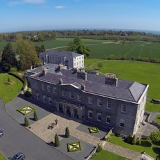
Old Connaught House
2.1 km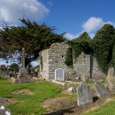
Kilbarrack Lower Church
1.8 km
St Brigid's Church, Killester
2.8 km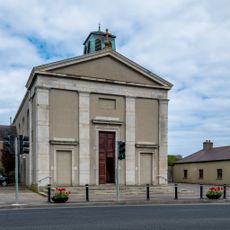
Sts Peter and Paul's Church (Baldoyle)
3 km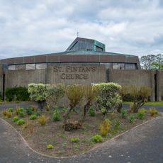
St. Fintan's Parish Church, Sutton, Dublin
3.5 km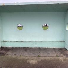
Clontarf Promenade shelter 8
3.1 km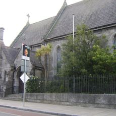
St. Assam's Church
1.4 km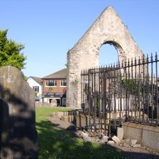
St. Assam's Church
1.4 km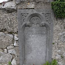
Reverend James Caffney Memorial
3.5 km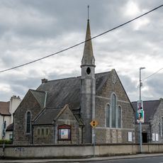
Sutton Methodist Church
3.5 km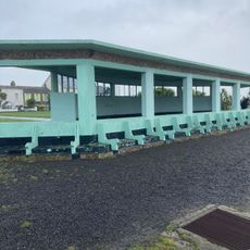
Clontarf Promenade large shelter
3.4 km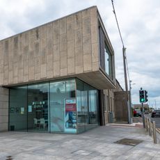
Baldoyle Library
2.8 km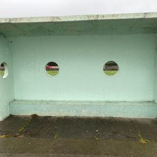
Clontarf Promenade shelter 4
3.8 km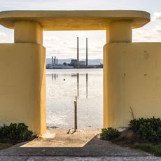
Bull Wall bathing shelters
3 km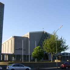
Church of Our Lady Mother of Divine Grace
1.5 km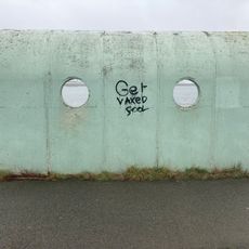
Clontarf Promenade shelter 7
3.6 km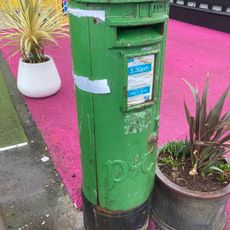
Clontarf Road (north) pillar postbox
2.7 km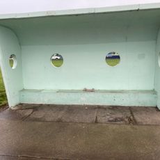
Clontarf Promenade shelter 5
2.8 km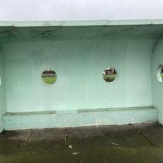
Clontarf Promenade shelter 6
3.7 kmVisited this place? Tap the stars to rate it and share your experience / photos with the community! Try now! You can cancel it anytime.
Discover hidden gems everywhere you go!
From secret cafés to breathtaking viewpoints, skip the crowded tourist spots and find places that match your style. Our app makes it easy with voice search, smart filtering, route optimization, and insider tips from travelers worldwide. Download now for the complete mobile experience.

A unique approach to discovering new places❞
— Le Figaro
All the places worth exploring❞
— France Info
A tailor-made excursion in just a few clicks❞
— 20 Minutes