Enable Location

We need your location to show you interesting places around you

Discover nearby places

Find interesting locations and hidden gems around you

Precise directions

Get accurate directions and distances to places

Your location is never shared with other users. It's only used when you tap the location button.

Log in to your account

Start exploring — it's free

Trusted by 62,629 travelers worldwide

Continue with Google
Continue with Apple
or

We will send you a code to connect

By continuing, you accept our Terms and Conditions and our Privacy Policy

Check your inbox

We've sent a pincode in your inbox. Please enter the code below.

Kanpur Dehat district

Kanpur Dehat district, Administrative district in Uttar Pradesh, India.

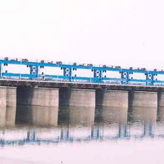
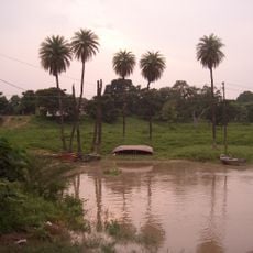
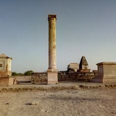
Kanpur Dehat is an administrative district in Uttar Pradesh characterized by open farmland, rural villages, and scattered industrial facilities across a large expanse. The landscape shifts between cultivated areas and settled zones, with agriculture visibly shaping how the region is organized.

The district came into being in the early 1990s as the result of a reorganization that separated it from the larger Kanpur district. This change was part of broader administrative reshaping that had affected the state in previous decades.

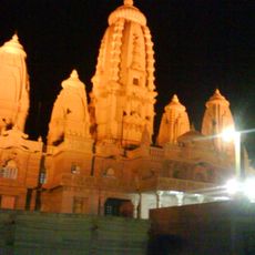
Daily life here follows traditions rooted in North Indian customs, visible in how families gather, how celebrations mark the calendar, and how farming rhythms shape the community. Visitors notice these patterns in the interactions and routines that structure each day.

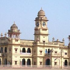
The area is served by multiple railway lines, with Rura Railway Station acting as a key passenger hub for travelers. Visitors should know that the rural setting means many places are spread across significant distances.

The region is the birthplace of Ram Nath Kovind, who rose from local positions to hold one of the country's highest offices. His roots here illustrate how communities produce their own leaders.

The community of curious travelers

AroundUs brings together thousands of curated places, local tips, and hidden gems, enriched daily by 60,000 contributors worldwide.

Start exploring
Location
Capital city
Akbarpur
GPS coordinates
26.34430,79.96720
Latest update
December 19, 2025 22:16
« Kanpur Dehat district - Administrative district in Uttar Pradesh, India » is provided by Around Us (aroundus.com). Images and texts are derived from Wikimedia project under a Creative Commons license. You are allowed to copy, distribute, and modify copies of this page, under the conditions set by the license, as long as this note is clearly visible.

Discover hidden gems everywhere you go!

From secret cafés to breathtaking viewpoints, skip the crowded tourist spots and find places that match your style. Our app makes it easy with voice search, smart filtering, route optimization, and insider tips from travelers worldwide. Download now for the complete mobile experience.

Around Us App Screenshot

A unique approach to discovering new places

Le Figaro

All the places worth exploring

France Info

A tailor-made excursion in just a few clicks

20 Minutes

Around Us
Travel Guide & Maps
Download

Send to your phone

QR Code
1

Open the camera app on your mobile.

2

Point at the QR code with your camera. A notification will appear.

3

Tap the notification to open the link.